

Every design for Moelv
Wear your town with pride
13 unique designs from the town of Moelv – map designs, local expressions and symbols only people who know the place will read. Also available as t-shirt, hoodie or tote bag.
T-shirt
from 249 SEK




Hoodie
from 499 SEK



Tote bag
from 129 SEK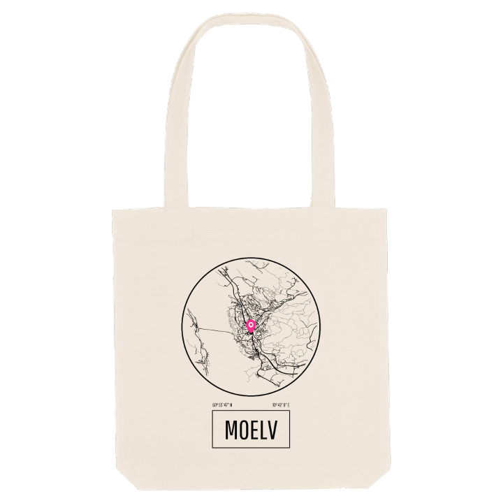


About Moelv
Lake Mjøsa shore
Moelven Industrier
Tolvsteinsringen
Moelv began as a row of mills, sawmills and fulling works along the Moelva, where the river runs out into Lake Mjøsa on its eastern shore. Green, forested hills and farmland rise behind the town, and people have lived here since the Stone Age; rock carvings found near Moelv are among the best preserved in Norway.
Tolvsteinsringen, just north of the centre, sets twelve large stones in a ring like a miniature Stonehenge. On the islet of Steinsholmen, south of the town, lie the ruins of Mjøskastellet, the castle King Håkon Håkonsson had built, and further along stands Ringsaker Church, a medieval limestone basilica with a famous altarpiece from Antwerp. Mjøsbrua carries the E6 across the lake to Biri, so the main road now passes the town by, and the old steamer DS Skibladner calls at its own pier beside the historic Spritbua.
Grow up here and the map is the lakeshore you know by heart, from the bathing place at Boligvika to the mouth of the river.
Shown on the map
Location: Norway
Coordinates: 60.9298°N, 10.7000°E
