

Every design for Melhus
Small village, big feelings
13 unique designs from the village of Melhus – map designs, local expressions and symbols only people who know the place will read. Also available as t-shirt, hoodie or tote bag.
T-shirt
from 249 SEK


Hoodie
from 499 SEK


Tote bag
from 129 SEK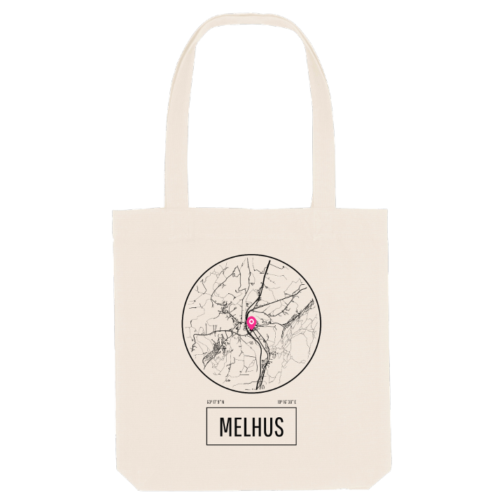




About Melhus
Viking saga
Gaula river
Dovrebanen
Melhus sits in the lower Gauldalen valley on the river Gaula, just south of Trondheim, with the Dovrebanen railway stopping at Melhus Station in the middle of the village. Its name goes back to Meðalhúsar, 'the middle houses', part of a far older farm once called Óðinssalr, Odin's hall.
What sets it apart today is how much of daily life fits into a short walk. The old E6, once a notorious bottleneck through the centre, was rebuilt as a calmer street when the highway moved west, and the centre has grown more town-like around it. Melhustorget, the doctor, the bank, the restaurants and the town hall are all close by, while Furuåsen and the little park Hyggeligflekken offer a breather, and Prestegårdslåna keeps the older village in view.
Then there is Jarlshola, linked to Jarl Haakon and his slave Tormod Kark on their last night before the killing at Rimul. Not many places can put a Viking saga on the same map as the morning commute.
Shown on the map
Location: Norway
Coordinates: 63.2859°N, 10.2773°E
