

Every design for Meerbusch
Wear your town with pride
13 unique designs from the town of Meerbusch in Nordrhein-Westfalen – map designs, local expressions and symbols only people who know the place will read. Also available as t-shirt, hoodie or tote bag.
T-shirt
from 249 SEK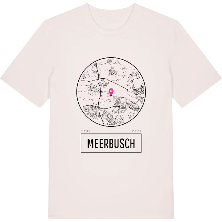





Hoodie
from 499 SEK


Tote bag
from 129 SEK


About Meerbusch
Haus Meer ruins
Lower Rhine villages
Wealthy suburb
Long before Meerbusch existed as a town, the Romans built a large villa at Ilverich, close to the frontier of the empire, and further villas stood near Lank-Latum and Osterath. In 1001 Burg Meer was raised here, and in 1166 Hildegund von Meer founded a convent for Premonstratensian nuns inside it, which Pope Alexander III recognised a few years later.
There is a gentle, almost rural calm about Meerbusch that surprises people who know only its reputation as a wealthy suburb. The town lies on the left bank of the Lower Rhine between Krefeld and Düsseldorf, and most of its land is still fields, woods and water. Walking through the Gartenpark Haus Meer past the ruins of the old castle, or along the Ilvericher Altrheinschlinge where an old arm of the Rhine curls through the meadows, it is easy to forget how close the city is. The station at Osterath, built for the Cologne-Krefeld railway, is one of the few of its kind to survive, and Lank-Latum's cemetery can be traced back to around the year 900.
Meerbusch only became a town in 1970, when eight villages came together, and each of them still feels like its own small world. If one of those villages is yours, from Büderich to Nierst, you will know exactly where to look on this map.
Shown on the map
Location: Nordrhein-Westfalen, Germany
Coordinates: 51.2652°N, 6.6761°E
