

Every design for Malvik
Small village, big feelings
13 unique designs from the village of Malvik – map designs, local expressions and symbols only people who know the place will read. Also available as t-shirt, hoodie or tote bag.
T-shirt
from 249 SEK


Hoodie
from 499 SEK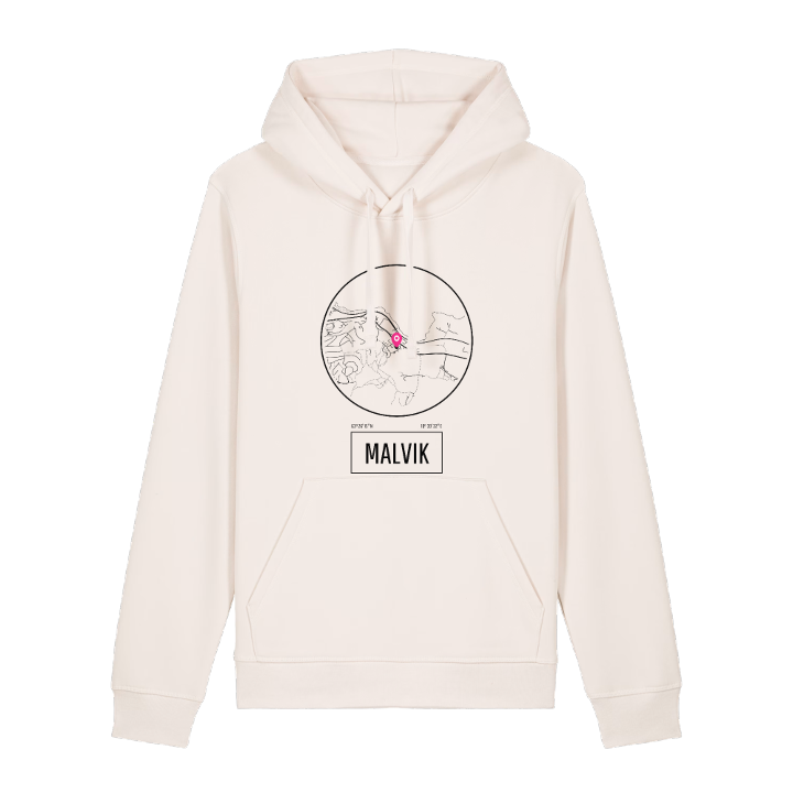


Tote bag
from 129 SEK





About Malvik
Trondheimsfjord views
Saksvikrevyen
Malvikbukta bay
Malvik takes its name from an old farm, Manvík in Old Norse: the inlet below the mane, a ridge behind the farm shaped like a horse's mane. Today the name also covers an urban area on the Trondheimsfjord, east of Trondheim, made up of Hundhammeren, Vikhammer and Saksvik, with Væretrøa just across the boundary in Trondheim itself.
Living here means the fjord is always in view. From Saksvik the outlook runs north across the water to Frosta, Skatval and Forbordsfjellet, and the old E6 still runs through as Malvikvegen. Saksvik carries the name of a Viking chieftain, Saxe på Vik, remembered in road names such as Saxe Viks veg, and every other year the local theatre group stages the Saksvikrevyen. Vikhammerløkka is the green space, and the ridges of Forbordsåsen, Høgåsen and Leistadåsen rise around it.
On a still evening the two bays, Malvikbukta and Saksvikbukta, lie open to the fjord, with Frosta on the far shore.
Shown on the map
Location: Norway
Coordinates: 63.4375°N, 10.6590°E
