

Every design for Måløy
Wear your town with pride
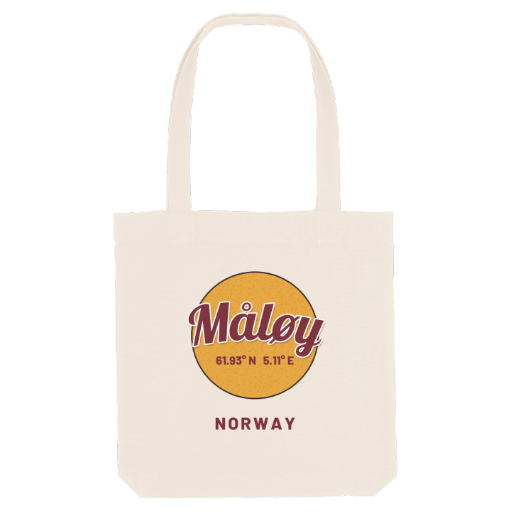
13 unique designs from the town of Måløy – map designs, local expressions and symbols only people who know the place will read. Also available as t-shirt, hoodie or tote bag.
T-shirt
from 249 SEK


Hoodie
from 499 SEK


Tote bag
from 129 SEK




About Måløy
Fishing port
Måløy Bridge
Numbered streets
From the middle of Måløybrua the whole town is laid out below you: wharves along the Ulvesundet strait, houses stacked up the hillside of Vågsøy, and the mainland at Deknepollen behind you. The strait is sheltered, which is why sailing ships once waited here for weather to round Stad, and why boats still come in to one of Norway's most important fishing ports.
What makes Måløy unusual is that few of its streets have names. Those climbing the hillside are simply numbered, from Gate 1 down by the water to Gate 7 at the top. Even the town's name belongs to somewhere else: the little island of Moldøen in the strait, where trading began before the town moved across to Vågsøy. The windiest spot in Norway, Kråkenes lighthouse, is not far off, and peaks such as Brurahornet and Kletten rise behind the houses.
Put Måløybrua on your chest and anyone from Nordfjord will know exactly where you mean.
Shown on the map
Location: Norway
Coordinates: 61.9337°N, 5.1129°E
