

Every design for Łuków
Wear your town with pride
13 unique designs from the town of Łuków in Województwo Lubelskie – map designs, local expressions and symbols only people who know the place will read. Also available as t-shirt, hoodie or tote bag.
T-shirt
from 249 SEK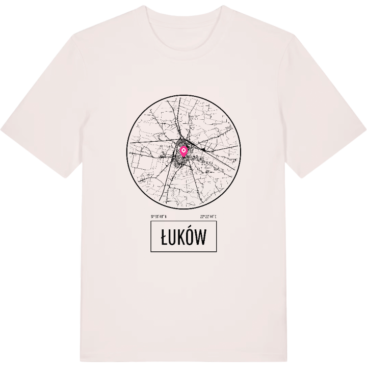




Hoodie
from 499 SEK


Tote bag
from 129 SEK


About Łuków
Railway junction
Zimna Woda reservoir
Former royal town
Ever met someone from Łuków who didn't mention the trains? The town is a railway junction in the Lublin Voivodeship, the seat of Łuków County and the largest town between Lublin, Siedlce, Puławy and Biała Podlaska – a place people change trains in, pass through and keep coming back to. Its name goes back to an Old Slavic word for a spot in the wetlands, fitting for a town that grew up on the Southern Krzna.
Ask what people miss about it and the answer is usually the river valley: the boulevard, the park, the Zimna Woda reservoir and the forest of the same name on the north-western edge. For centuries Łuków was a royal town, and its Piarist college made it a centre of learning for the whole region. The Kolegiata Przemienienia Pańskiego still rises above the old centre, while the Muzeum Regionalne w Łukowie keeps the longer story. One more quirk: the central parallel of Poland's territory runs straight through the Sienkiewicza estate.
So if Łuków is where you learned to ride a bike along the Krzna, this map is yours – the junction, the river bend and every street in between.
Shown on the map
Location: Województwo Lubelskie, Poland
Coordinates: 51.9301°N, 22.3791°E
