

Every design for Løding
Small village, big feelings
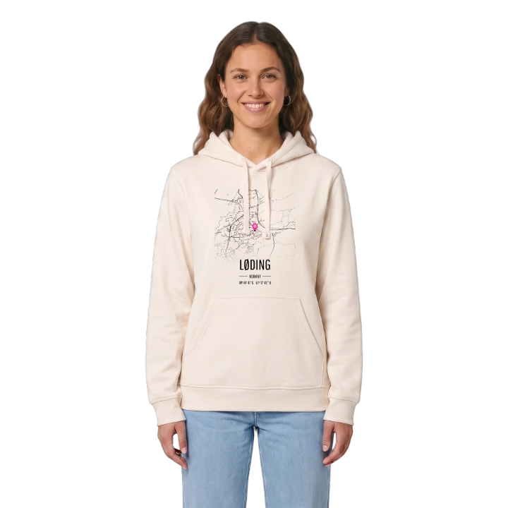
13 unique designs from the village of Løding – map designs, local expressions and symbols only people who know the place will read. Also available as t-shirt, hoodie or tote bag.
T-shirt
from 249 SEK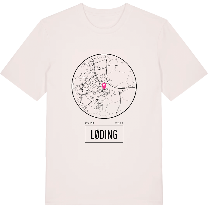




Hoodie
from 499 SEK









Tote bag
from 129 SEK





About Løding
Coastal road start
Tverlandet
Nordland Line
Løding is where Norway's coastal road, County Road 17, begins its long run south. The village lies about 17 kilometres east of Bodø, linked to the town by the Tverlandet Bridge, and most people know it simply as Tverlandet.
That name stretches further than the village itself. Tverlandet takes in the surrounding areas of Hopen, Vatne, Heggmoen, Mjønes, Vågan, Holand, Skålbunes, Elstad, Oddan, Allmenningen, Godøynes and Naurstad, with the lake Vatnvatnet to the north and the Nordland Line passing through. Løding is the centre of it all, made up of Øvre-Løding and Ner-Løding, with Tverlandet Church, a doctor, a dentist, shops and a school up to lower secondary. For many years the Norwegian Armed Forces kept a camp here for those serving at the northern Norway defence command, until it closed in 2001.
On paper it is a suburb of Bodø, but to the people who live here it is simply Tverlandet. Cross the bridge, see the church, and you are back on Tverlandet, back where you started.
Location: Norway
Coordinates: 67.2971°N, 14.7449°E
