

Every design for Liperi
Wear your town with pride
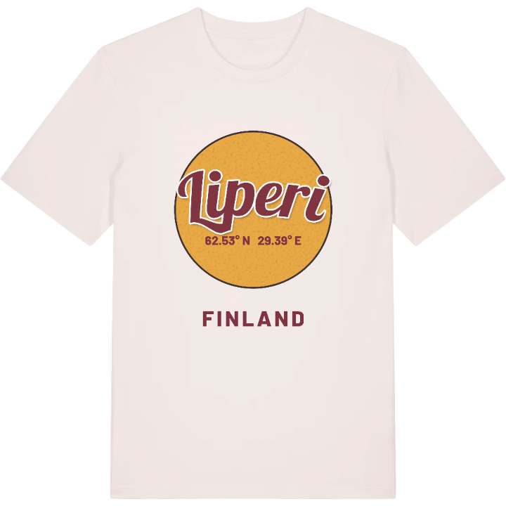
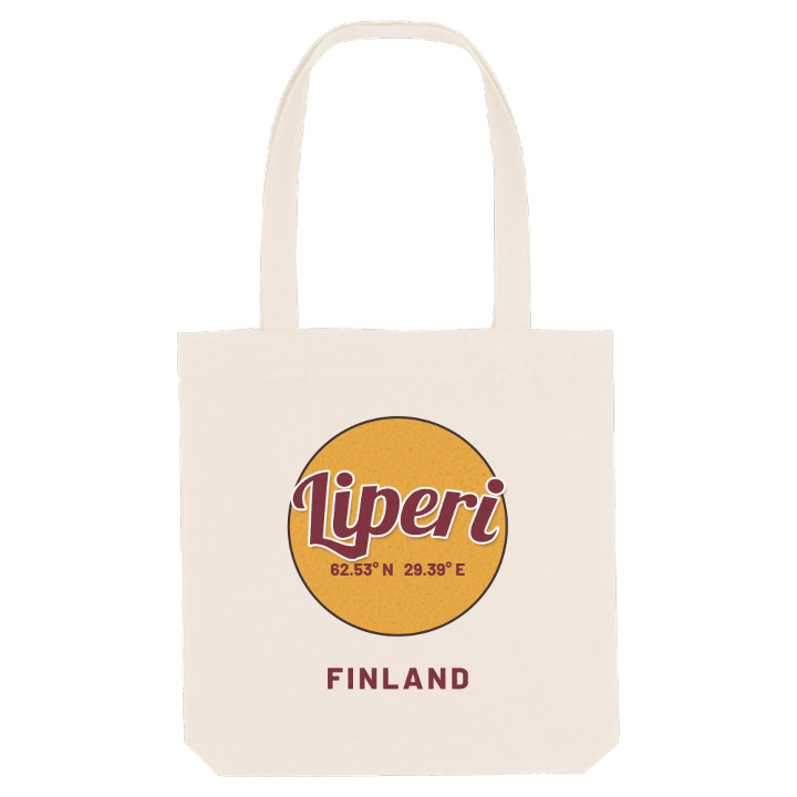
13 unique designs from the town of Liperi in Pohjois-Karjala – map designs, local expressions and symbols only people who know the place will read. Also available as t-shirt, hoodie or tote bag.
T-shirt
from 249 SEK


Hoodie
from 499 SEK


Tote bag
from 129 SEK


About Liperi
Red brick church
Lakes and sounds
Heat record
Morning at the Härkinlammen lintutorni, a bird-watching tower above a quiet pond, gives a fair idea of Liperi: water in almost every direction, and very little noise. Well over a third of this North Karelian municipality is lakes and sounds, and Finnish law even counts it as an archipelago municipality. In summer the Liperin kirkonkylän uimaranta fills with swimmers, and Saariston Puoti, a roadside stop on the shore of Lake Ruokosalmi, was once chosen as the best rest stop in Finland.
Liperi lies right beside Joensuu, and the city's pull has kept it growing for years. Ylämylly, Honkalampi and Jyrinkylä, close together and only minutes from the city, have become sought-after places to live, while Viinijärvi is the other large village. Joensuu Airport stands on Liperi land too, and it was there that Finland's highest temperature on record was measured.
In the church village, the old wooden municipal house is among the oldest buildings in the region, and the Maatalousmuseo keeps the farming past in view. Above it all rises the stout red brick church that rules the view of the village, the one landmark every Liperi native can find on the map, and reason enough to put it on a shirt.
Shown on the map
Location: Pohjois-Karjala, Finland
Coordinates: 62.5315°N, 29.3872°E
