

Every design for Leirvik
Wear your town with pride
13 unique designs from the town of Leirvik – map designs, local expressions and symbols only people who know the place will read. Also available as t-shirt, hoodie or tote bag.
T-shirt
from 249 SEK


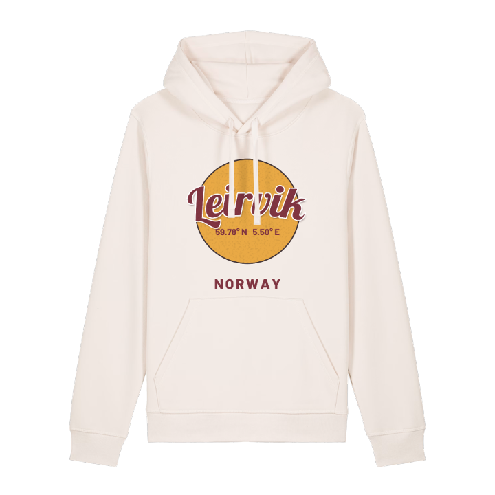
Hoodie
from 499 SEK


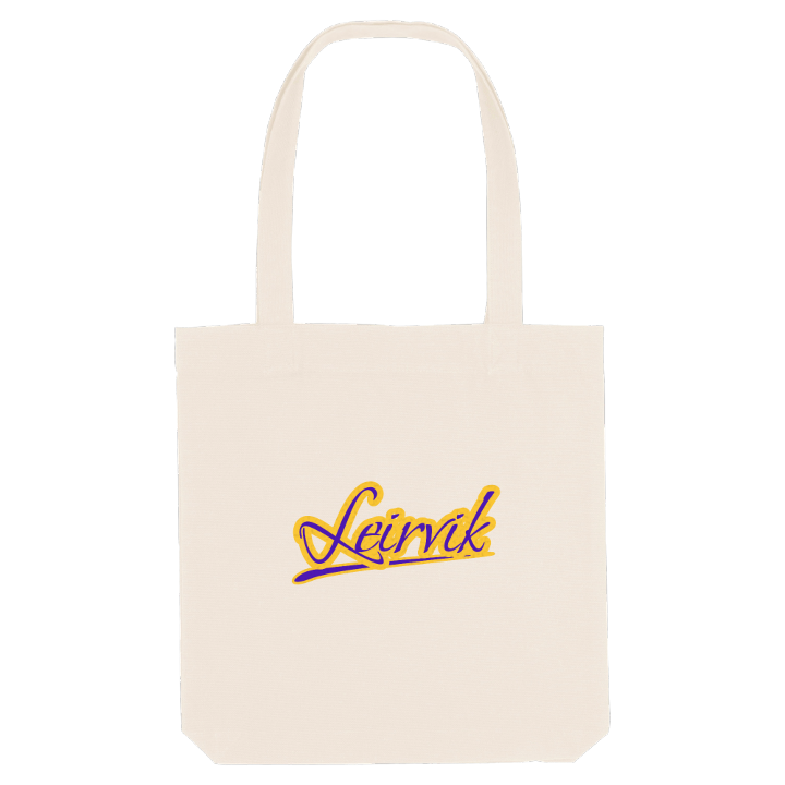
Tote bag
from 129 SEK




About Leirvik
Shipyards and oil
Hardangerfjorden harbour
Island ferries
Leirvik is known as the shipbuilding town of Sunnhordland, where the yards on the Eldøyane peninsula moved from boats to the oil industry, and as the regional centre for the whole district. It lies on the southern coast of the island of Stord, around a natural harbour at the mouth of the Hardangerfjorden, and has grown into a long, narrow town that follows the shoreline.
Hystad naturreservat keeps a patch of protected nature inside a town better known for its cranes and quays. Out on the water, ferries and express boats link Leirvik to Halsnøya, Huglo and the other islands of the fjord, and the express boats run north to Bergen. To the west, the Stord Bridge carries the E39 on towards the Triangle Link, while old buildings such as Futastova and Hatlandsløo hold on to an older Sunnhordland.
Officially the town is called Stord, but almost nobody here says so. For Leirvik people, Hystad naturreservat, the harbour and the long curve of the fjord are the shape of the place they come from, and that shape is what ends up on the shirt.
Shown on the map
Location: Norway
Coordinates: 59.7809°N, 5.5006°E
