

Every design for Leidschendam
Wear your town with pride
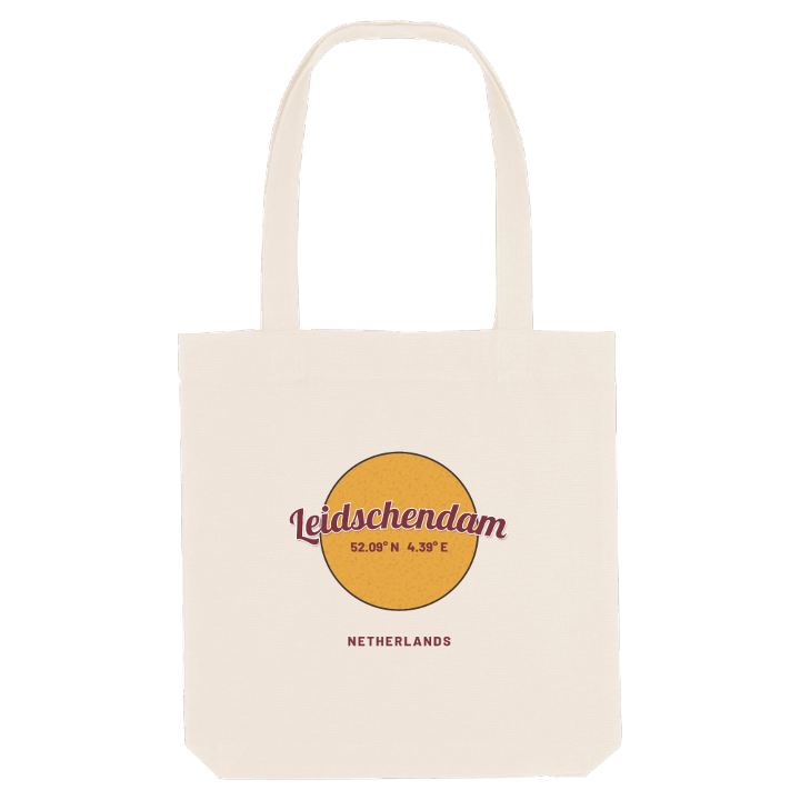
13 unique designs from the town of Leidschendam in Zuid-Holland – map designs, local expressions and symbols only people who know the place will read. Also available as t-shirt, hoodie or tote bag.
T-shirt
from 249 SEK


Hoodie
from 499 SEK


Tote bag
from 129 SEK


About Leidschendam
The Vliet canal
Historic locks
Octagonal church
Leidschendam lies along the Vliet, the medieval canal between Leiden and Delft that follows the line of an older waterway dug by the Romans under Corbulo. Where the land of Rijnland met that of Delfland, a dam was laid across the canal, and every passenger and every cargo had to change boats there. Inns, a blacksmith and windmills grew up on both banks. Delft won permission for a lock in 1489, only for Gouda and Dordrecht to send hundreds of workers to wreck it in 1492; the locks that stand today date from 1885.
North of the water lay the village of Veur, south of it the settlement that took the name Leidschendam, and together they form the historic centre. The town sits on the edge of The Hague's agglomeration, with the woods of the Leidschendammerhout and the open Duivenvoordse en Veenzijdse Polder on its other side, and the octagonal domed Dorpskerk still marking the old core. Only in 1938 did the two halves become one municipality, after centuries of sharing a canal.
Whether you grew up near the locks or walked the old towpath every weekend, the line of the Vliet on this map is the one you followed home.
Shown on the map
Location: Zuid-Holland, Netherlands
Coordinates: 52.0862°N, 4.3947°E
