

Every design for Larvik
Wear your town with pride
13 unique designs from the town of Larvik – map designs, local expressions and symbols only people who know the place will read. Also available as t-shirt, hoodie or tote bag.
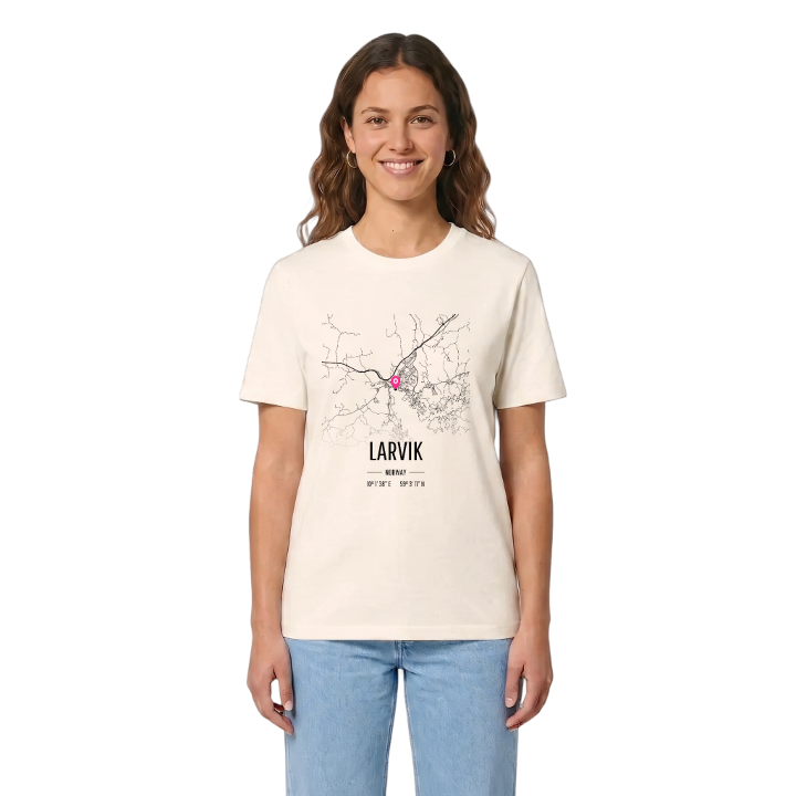
T-shirt
from 249 SEK



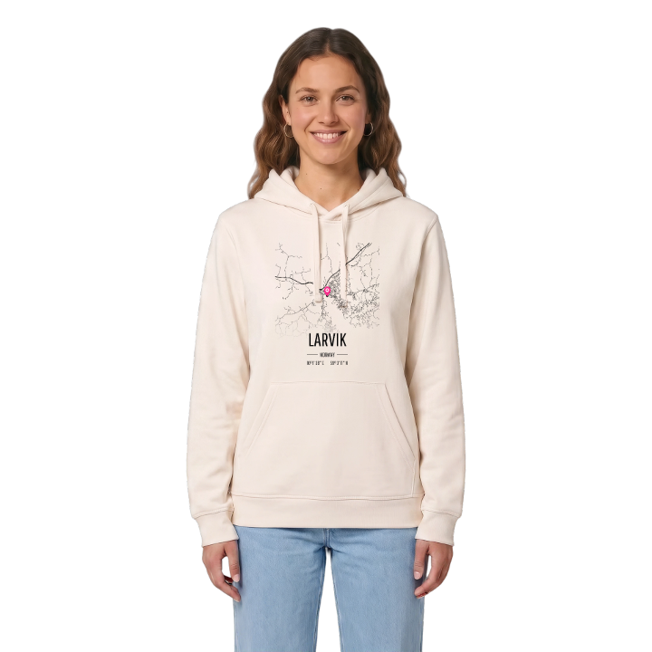
Hoodie
from 499 SEK



Tote bag
from 129 SEK


About Larvik
Larvikitt stone
Beech forest
Farris water
Larvik is known for its stone, its water and its beeches: larvikitt, the blue crystalline rock named after the town, Farris water from the spring at Farriseidet, and Bøkeskogen, the beech forest that lies like a park on the ridge above the streets.
Anyone who grew up here remembers walks under those beeches, or long days on the sand at Hvittensand. The town sits between the Larviksfjorden and lake Farris, with the river Lågen along its eastern side, and the car ferry to Hirtshals in Denmark leaves from its harbour. Herregården, the residence of the counts, and Tolderodden, where the first town grew up around Larvik Church, keep old Laurvig in view.
Sail in past the Svenner lighthouse, see the harbour open up at the end of the fjord, and Larvik is simply home.
Shown on the map
Location: Norway
Coordinates: 59.0532°N, 10.0272°E
