

Every design for Kyrksæterøra
Small village, big feelings
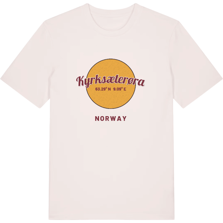
13 unique designs from the village of Kyrksæterøra – map designs, local expressions and symbols only people who know the place will read. Also available as t-shirt, hoodie or tote bag.
T-shirt
from 249 SEK


Hoodie
from 499 SEK


Tote bag
from 129 SEK


About Kyrksæterøra
Hemne Church
Hemnfjorden
White town
How many villages carry their whole setting in their name? Kyrksæterøra does: the ør is the sandbank at the mouth of the river Søa, and Kyrksæter is the old farm above it, where the first Hemne Church was built. The village lies at the end of Hemnfjorden as the administrative centre of Heim Municipality in Trøndelag, with Holla to the northeast, Hellandsjøen and Heim to the north and Vinjeøra to the south.
Hemne Church stands on top of Skeiet, the end moraine that separates the lake Rovatnet from Hemnfjorden, and it is the landmark that tells you where you are. Below it, the village has a hotel, shops, a small-boat harbour and places to eat, and industry from a shipyard and a smelting works to a breeding plant for salmon and rainbow trout. County Road 680 passes through, and the local paper Søvesten has been published here since 1994. Kyrksæterøra was once known as the white town of Hemnfjorden, when every house was white.
If you have walked up to the church and looked down at the fjord on one side and the lake on the other, you have seen this map from above already.
Location: Norway
Coordinates: 63.2908°N, 9.0889°E
