

Every design for Konin
The big city that shaped you
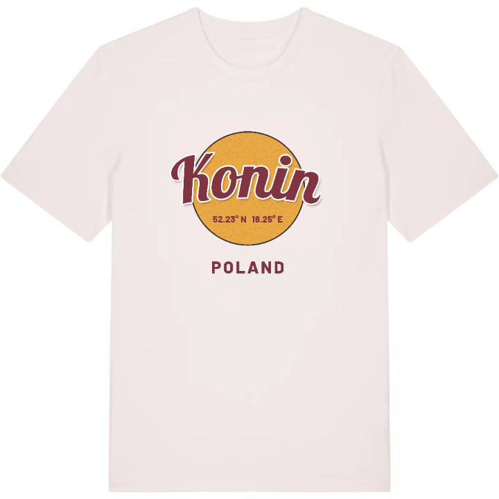
13 unique designs from the city of Konin in Województwo Wielkopolskie – map designs, local expressions and symbols only people who know the place will read. Also available as t-shirt, hoodie or tote bag.
T-shirt
from 249 SEK


Hoodie
from 499 SEK


Tote bag
from 129 SEK


About Konin
medieval road post
Warta river
brown coal basin
Konin is known for a modest stone post that outranks almost every monument in the region: a medieval road marker in its Old Town, considered the oldest preserved road sign in Central and Eastern Europe and the oldest in Europe beyond the borders of the old Roman Empire. It suits a town that has always stood on a route. Traders on the Amber Road crossed the Warta here, Ptolemy's map named a settlement on the spot Setidava, and the medieval town grew up around a ford and later a bridge.
What makes Konin distinctive is that it is really two towns facing each other across the river. Stary Konin on the left bank keeps Gothic, Renaissance, Baroque and Neoclassical buildings, among them the Kościół pw. św. Bartłomieja and the Dom Zemełki. Nowy Konin on the right bank was built after the war, and between the two lies the river island of Pociejewo. To the north, around Jezioro Gosławskie and Jezioro Pątnowskie, sits the industry of the Konin brown coal basin. A former royal town, Konin grew rich on cloth and trade, turned industrial in the nineteenth century and later served as the capital of its own voivodeship.
Look out for the Pomnik Konia: the horse from the coat of arms, the animal that gave the whole town its name.
Shown on the map
Location: Województwo Wielkopolskie, Poland
Coordinates: 52.2302°N, 18.2521°E
