

Every design for Kolari
Wear your town with pride
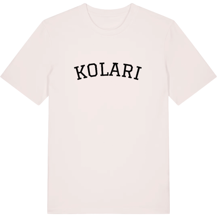
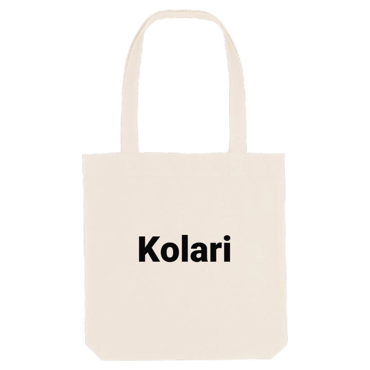
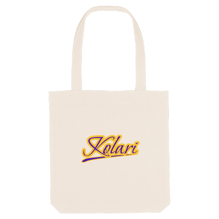
13 unique designs from the town of Kolari in Lappi – map designs, local expressions and symbols only people who know the place will read. Also available as t-shirt, hoodie or tote bag.
T-shirt
from 249 SEK


Hoodie
from 499 SEK


Tote bag
from 129 SEK






About Kolari
Ylläs ski resort
Torne River
Northernmost station
Kolari is where Finland's railway runs out of track and the fells of Ylläs begin. The station here is the northernmost in the country, and Ylläs, one of Finland's most popular ski resorts, rises in the north-east corner of the municipality, drawing skiers from far beyond Lapland.
What makes Kolari its own is the river and the story it carries. The Torne, the longest free-flowing river in Europe, is also the border with Sweden, and for centuries the two banks were one parish. The first permanent settler, Pekka Kolari, came from Savo in the early 1580s, and the place grew in the seventeenth century around the Kengis ironworks, with blacksmiths, charcoal burners and tar makers sending their goods down to Tornio. The name itself means charcoal burner. When the border split the parish, the winter market moved to Kolarinsaari, an island in the river. Later came mines, then tourism, and the area holds the country's largest bog with a thousand-year-old forest.
For anyone who grew up here, the map is a childhood in outline: Kolarinsaaren uimaranta on a light summer night, the model of the old island church, Myllyojan puisto, and the river always there at the edge of town.
Shown on the map
Location: Lappi, Finland
Coordinates: 67.3303°N, 23.7815°E
