

Every design for Knarvik
Wear your town with pride
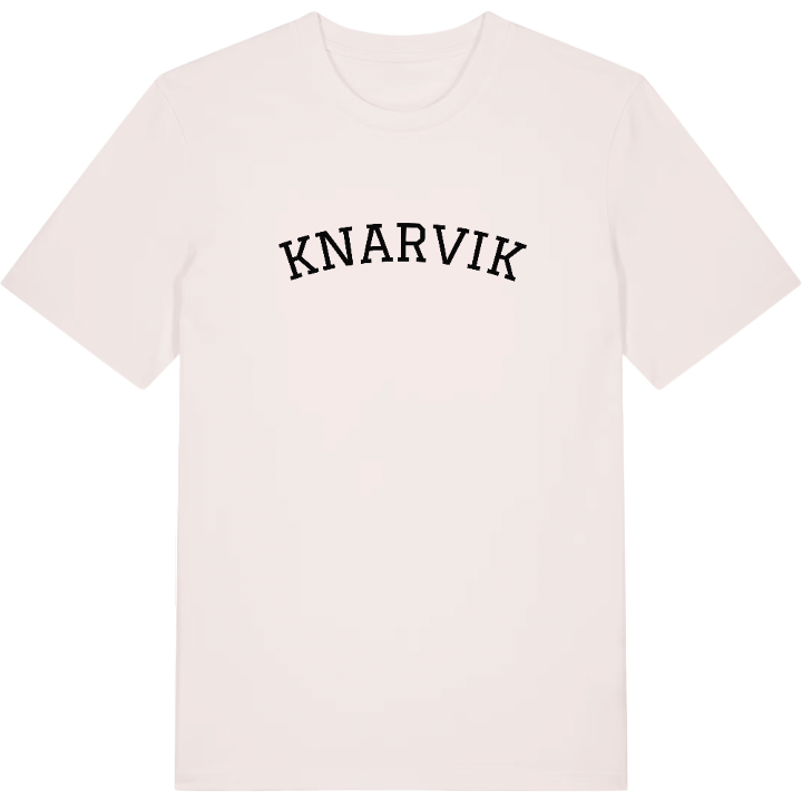
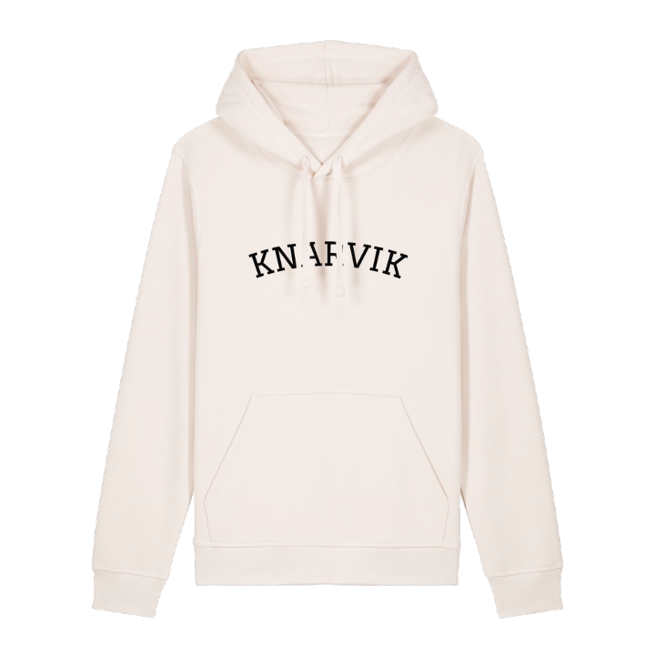
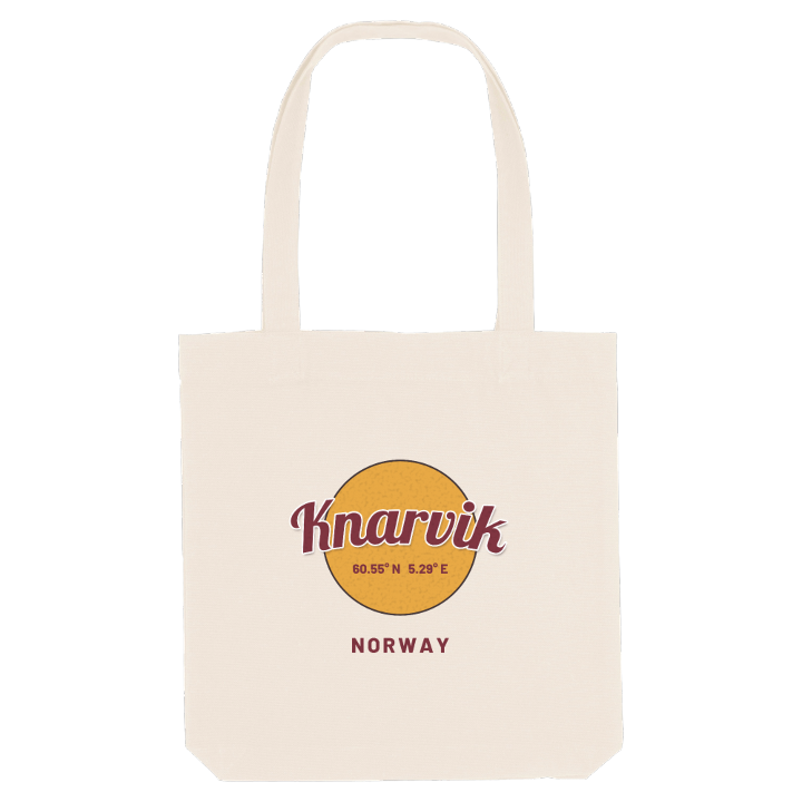
13 unique designs from the town of Knarvik – map designs, local expressions and symbols only people who know the place will read. Also available as t-shirt, hoodie or tote bag.
T-shirt
from 249 SEK


Hoodie
from 499 SEK


Tote bag
from 129 SEK


About Knarvik
Regional centre
Knarvikmila
Four fjords
Start at Knarvik Senter, the largest shopping centre in Nordhordland, where a good share of the village's day passes through. Outside, the E39 cuts straight through Knarvik, mall and shops to the north, older scattered houses to the south, and rush-hour traffic has become part of the rhythm.
What makes Knarvik unusual is its setting. Four fjords meet here, the Osterfjorden, Sørfjorden, Salhusfjorden and Radfjorden, and until the Nordhordland Bridge opened, the Knarvik–Steinestø ferry carried more cars than any other in Norway. Knarvik vidaregåande skule fills with students, the new Knarvik Church serves a growing community, and two local papers, Nordhordland and Strilen, keep track of it all. Lindås sogelag looks after the history, while Kvassnesstemma friluftsområde and Håøyna wait for the weekend.
If you grew up here, the map is the bridge towards Bergen, the school run along the E39 and the September day when Knarvikmila takes over the roads.
Shown on the map
Location: Norway
Coordinates: 60.5461°N, 5.2854°E
