

Every design for Kleppe
Small village, big feelings
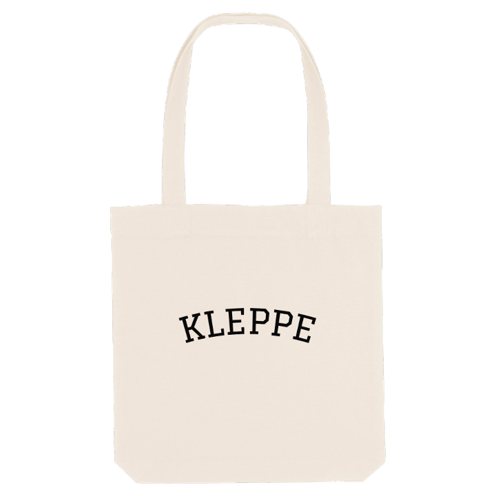
13 unique designs from the village of Kleppe – map designs, local expressions and symbols only people who know the place will read. Also available as t-shirt, hoodie or tote bag.
T-shirt
from 249 SEK


Hoodie
from 499 SEK


Tote bag
from 129 SEK


About Kleppe
Heart of Jæren
Ancient sites
Klepp Church
Kleppe is the administrative centre of Klepp Municipality, known for its place in the middle of Jæren, about halfway between the lakes Orrevatnet and Frøylandsvatnet. Bore lies a short way to the north-west, Klepp stasjon to the east, Bryne to the south and Sandnes further off to the north-east.
The feeling here is of open land and steady growth. Single-family homes and newer apartment blocks have spread out until Kleppe and Verdalen became one urban area, yet farmland and lakes are never far from the end of the street. Klepp Church, built of wood, stands between the ridges of Kleppevarden and Haugabakka, above the shops and town hall at Kleppekrossen. Older marks lie in the landscape too: the ancient sites of Krosshaug, Grønhaug and Dysjane, the hill of Tinghaug, and Klepp bygdemuseum and Kristinahuset keeping the local story. Along the coast lies Jærstrendene plantefredningsområde. The name comes from the Old Norse kleppr, a stone or a hill.
From Kleppevarden the flat land of Jæren spreads out on every side, a lake on either hand and Kleppe in the middle. That view is reason enough to wear it.
Shown on the map
Location: Norway
Coordinates: 58.7742°N, 5.6294°E
