

Every design for Kassel
The big city that shaped you
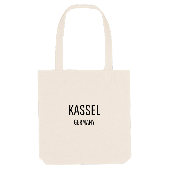
13 unique designs from the city of Kassel in Hessen – map designs, local expressions and symbols only people who know the place will read. Also available as t-shirt, hoodie or tote bag.
T-shirt
from 249 SEK


Hoodie
from 499 SEK


Tote bag
from 129 SEK




About Kassel
documenta
Bergpark Wilhelmshöhe
Brothers Grimm
The Orangerie stands in the Karlsaue, the broad riverside parkland along the Fulda, built for the landgrave who also gave Kassel its Hercules monument. From here the city spreads across a wide valley basin, its centre raised on a ridge of shell limestone known as the Weinberg.
Kassel lies in northern Hesse, close to the borders of Lower Saxony and Thuringia, and only about 70 kilometres from the geographic centre of Germany. Forested uplands frame the basin on almost every side: the Habichtswald to the west, the Reinhardswald to the north-east, the Kaufunger Wald to the east and the Söhre to the south, with only the Fulda cutting through from south to north. The Bergpark Wilhelmshöhe has been a UNESCO World Heritage Site since 2013. Down in the city, the Grimmwelt remembers the brothers who collected most of their fairy tales here, and every five years the documenta brings the art world to town.
Seen by someone who grew up in Kassel, the map is a ring of green hills, with the river and the Karlsaue at its heart and every walk home ending somewhere in the basin.
Shown on the map
Location: Hessen, Germany
Coordinates: 51.3158°N, 9.4978°E
