

Every design for Kampen
Wear your town with pride
13 unique designs from the town of Kampen in Overijssel – map designs, local expressions and symbols only people who know the place will read. Also available as t-shirt, hoodie or tote bag.
T-shirt
from 249 SEK


Hoodie
from 499 SEK


Tote bag
from 129 SEK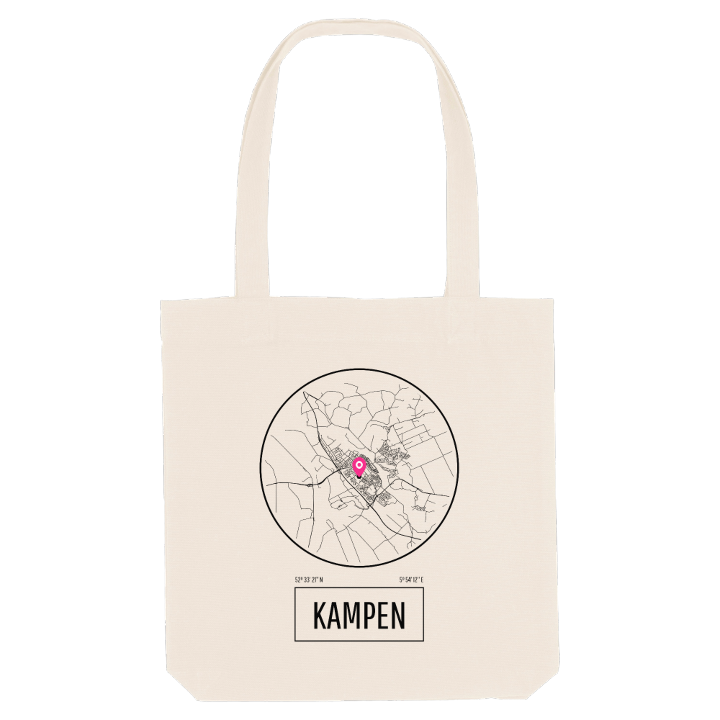




About Kampen
Hanseatic history
medieval town gates
river island
Few Dutch towns have kept their old centre as well as Kampen: three medieval gates still standing, a skyline of churches and the IJssel flowing past the front of the town. In the Middle Ages it was among the most powerful trading cities of north-western Europe, its fleet of cog ships sailing around Denmark into the Baltic with salt brought from Portugal. Proudly independent, it held out against joining the Hanseatic League for years, and once it did, it carried enough weight to get a bridge built over the river despite loud protests from other members. The silting of the IJssel slowly brought that golden age to an end.
What sets Kampen apart today is that it stands on a river island. Three bridges cross the IJssel to IJsselmuiden and to Kampereiland, the farmland between the branches of the delta, and the windmill d' Olde Zwarver keeps watch nearby. Locals speak Kampers, their own version of the Sallands dialect. Between the Broederpoort, the Cellebroederspoort and the Koornmarktspoort you can walk the whole story of the town, ending at the Kleinste huisje van Kampen.
If you learned to cycle over those bridges, or heard Kampers spoken at your grandparents' table, this map is yours to keep.
Shown on the map
Location: Overijssel, Netherlands
Coordinates: 52.5559°N, 5.9033°E
