

Every design for Jyllinge
Wear your town with pride
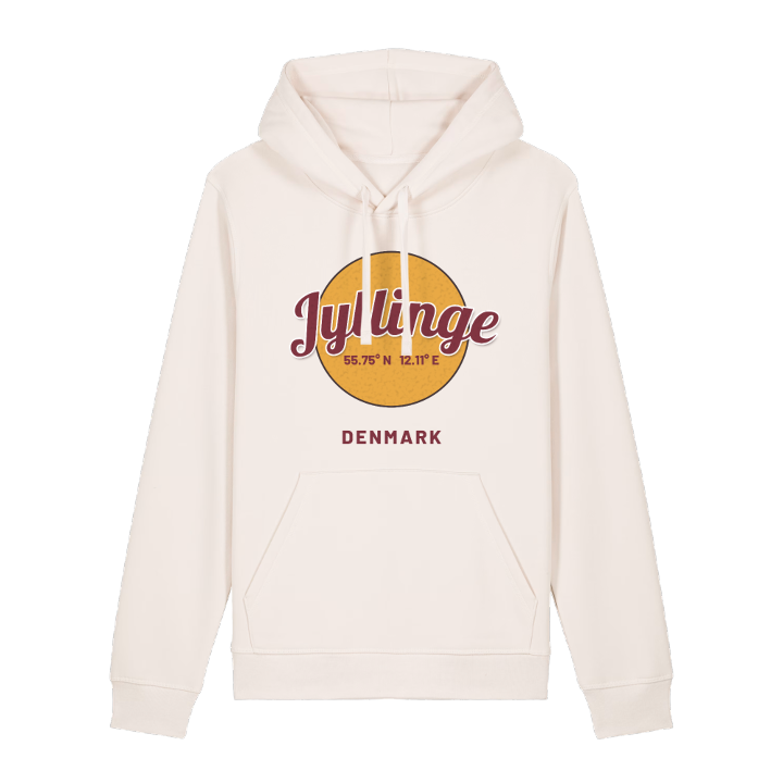
13 unique designs from the town of Jyllinge in Region Sjælland – map designs, local expressions and symbols only people who know the place will read. Also available as t-shirt, hoodie or tote bag.
T-shirt
from 249 SEK






Hoodie
from 499 SEK

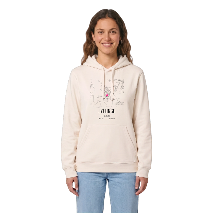


Tote bag
from 129 SEK






About Jyllinge
Eel fishing
Roskilde Fjord
Three harbours
Jyllinge lies on the eastern shore of Roskilde Fjord, halfway between Roskilde and Frederikssund, with Copenhagen within easy reach to the east. The old fishing village sits at the water's edge, surrounded by streets of family houses, and the fjord sets the rhythm of the place. Three harbours line the shore: a large marina to the south, the old fishing harbour in the middle and a smaller private marina to the north. For generations the boats went out for eel, and a single commercial fishing vessel still works from here. The medieval Jyllinge Church, among the oldest in Denmark, has watched it all.
That same position brings the weather in. When storms blow from the west, the fjord is pushed over Jyllinge Nordmark, and floods have reached homes there more than once. Dikes and a sluice on Værebro Å now guard the low ground. Out in the fjord lies Eskilsø Klosterruin, the remains of a monastery, and on land the ancient tombs of Gulddysse and Svalhøi recall people who lived by this water long before the fishermen.
If you grew up with the fjord at the end of the road, this map holds every shoreline you ever walked.
Shown on the map
Location: Region Sjælland, Denmark
Coordinates: 55.7535°N, 12.1086°E
