

Every design for Inowrocław
Wear your town with pride
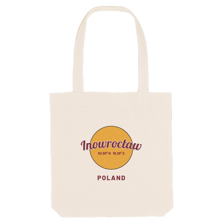
13 unique designs from the town of Inowrocław in Województwo Kujawsko-Pomorskie – map designs, local expressions and symbols only people who know the place will read. Also available as t-shirt, hoodie or tote bag.
T-shirt
from 249 SEK


Hoodie
from 499 SEK


Tote bag
from 129 SEK


About Inowrocław
salt spa
graduation tower
Western Kuyavia
Inowrocław sits on a low rise in the flat black-earth country of Kuyavia, and the rise itself is made of salt: the historic centre stands on ground pushed up by a salt dome, high enough to look out over the surrounding plain. Salt was mined here from ancient times until the last mine, Solino, closed in the nineteen-eighties, and the town still lives by it as a spa.
Its position has always mattered. The Amber Road passed this way, and in the Middle Ages the town was the capital of its own duchy and later of a voivodeship. Casimir the Great often stayed here, Władysław Jagiełło made it his main base after Grunwald, and Napoleon used it as a headquarters on his march into Russia. Today it is a major railway junction where the Poznań–Toruń line crosses the coal trunk line to Gdynia, while the Kanał Notecki runs along its edge and the fertile, almost treeless fields stretch away under a sky that gives little rain.
The town is known as the capital of Western Kuyavia, and its everyday landmarks are its own: the sanatoria, the Tężnia solankowa im. Jana Oseta, the glasshouse of the Palmiarnia. If you grew up here, you will remember the salty air by the graduation tower and the walk to the Bazylika Imienia Najświętszej Maryi Panny; on this map those streets come back in an instant.
Shown on the map
Location: Województwo Kujawsko-Pomorskie, Poland
Coordinates: 52.7952°N, 18.2596°E
