

Every design for Hürth
Wear your town with pride
13 unique designs from the town of Hürth in Nordrhein-Westfalen – map designs, local expressions and symbols only people who know the place will read. Also available as t-shirt, hoodie or tote bag.
T-shirt
from 249 SEK


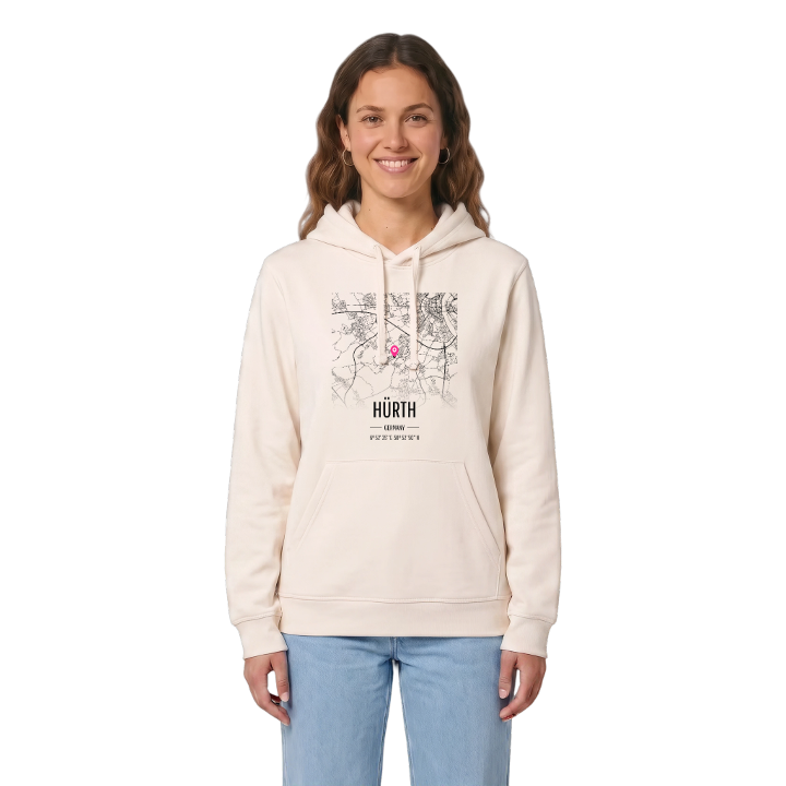
Hoodie
from 499 SEK



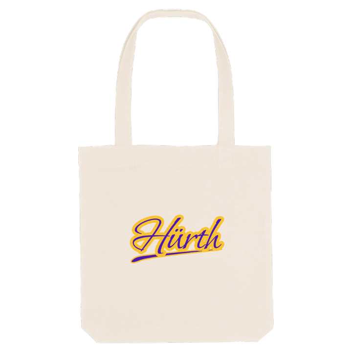
Tote bag
from 129 SEK




About Hürth
Roman aqueduct
Former lignite town
Media hub
The Romans carried Cologne's drinking water through what is now Hürth along the Eifel Aqueduct, and remnants of the channels still lie beneath the town; at the Aufschluss der römischen Wasserleitung you can see a section for yourself. Hürth as a town is much younger. On 1 April 1930 the rural communities of Hürth, Berrenrath, Fischenich, Gleuel, Hermülheim and Kendenich were joined into one, held together by the lignite beneath them, and Efferen and Stotzheim followed in 1933. Until 1978 it was the largest rural community in Germany.
The town sits on the north-eastern slope of the Ville, about 6 kilometres south-west of Cologne city centre, and borders the city directly. Lakes and stretches of forest, many of them on land once dug for coal, break up its thirteen districts, from the Waldseenbereich Theresia to the Naherholungsgebiet Hürtherberg. Burg Kendenich, Burg Efferen and the Burgtor Hermülheim recall the older villages that came before the mines.
Michael and Ralf Schumacher were born here, and if you were too, your Hürth has its own map: the castle in Kendenich, the woods on the Ville, the road into Cologne. This one holds them all.
Shown on the map
Location: Nordrhein-Westfalen, Germany
Coordinates: 50.8807°N, 6.8766°E
