

Every design for Huittinen
Wear your town with pride
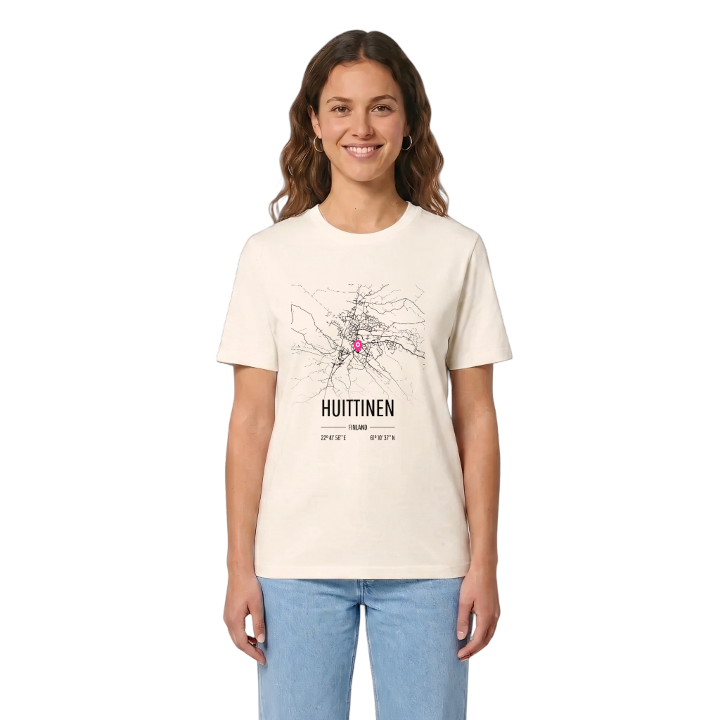
13 unique designs from the town of Huittinen in Satakunta – map designs, local expressions and symbols only people who know the place will read. Also available as t-shirt, hoodie or tote bag.
T-shirt
from 249 SEK



Hoodie
from 499 SEK


Tote bag
from 129 SEK


About Huittinen
Transport hub
Grey stone church
President Risto Ryti
Set in the middle of the triangle formed by Turku, Tampere and Pori, Huittinen has always been a place people pass through, and a good many of them stop. The town is one of the busiest bus junctions in the country, a lively centre for shopping and car dealing, and the heart of a food-processing trade; it even has more pigs than any other Finnish municipality.
Huittinen lies in Satakunta, south-east of Pori, on mostly flat land where the lowest ground follows the rivers through the middle of town. Lauttakylä, the centre, grew up where the old Helsinki–Pori and Turku–Tampere roads crossed and the Loimijoki was crossed by ferry, and it became Southwest Finland's most important land transport hub long before the age of cars. For years a passenger boat even ran from here along the Kokemäenjoki to the railway. The grey stone church, its tall tower added after a fire, can be seen far across the fields from the Kirkkopuisto. Risto Ryti, President of Finland during the war years, was born here, and the West Finland College at Loima is the oldest Finnish-speaking folk high school in the country. The Huittisten museo keeps the town's older stories.
When that church tower appears over the flat fields on the drive in, anyone from Huittinen knows the journey is over.
Shown on the map
Location: Satakunta, Finland
Coordinates: 61.1771°N, 22.6991°E
