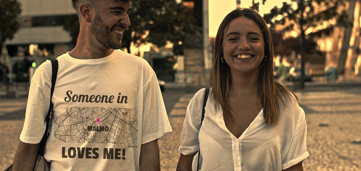
Every design for Hoevelaken
Wear your town with pride
13 unique designs from the town of Hoevelaken in Gelderland – map designs, local expressions and symbols only people who know the place will read. Also available as t-shirt, hoodie, sweatshirt or tote bag.
T-shirt
from 249 SEK


Hoodie
from 449 SEKSweatshirt
from 449 SEKTote bag
from 129 SEKAbout Hoevelaken
Motorway interchange
Huize Hoevelaken
Gelderse Vallei
In the woods of Landgoed Hoevelaken, on the west side of the village, stands Huize Hoevelaken, a country house built for a director of the Nederlandsche Handel-Maatschappij. Most of the forest around it now belongs to the Geldersch Landschap, and on a quiet morning it is hard to believe a busy motorway junction is just a few minutes away.
Huize Hoevelaken is not the first castle here: a castle called Huis te Hoevelaken stood in the village centuries ago, before it was destroyed along with much of the village. Hoevelaken was first recorded as Hovelaken, 'estate near the river Laak', and grew as a linear settlement in the Gelderse Vallei, about five kilometres east of Amersfoort. After the war it grew quickly, with a new town hall and the Wiekslag shopping centre, and since its station opened it has trains to Amersfoort and Barneveld. Further out lie the green estates of Heerlijkheid Stoutenburg and Bloeidaal.
Most people know Hoevelaken as a name on a motorway sign. For those who grew up here, the map tells a different story: De Brink, the woods, the castle and every short cut between them.
Shown on the map
Location: Gelderland, Netherlands
Coordinates: 52.1757°N, 5.4577°E