

Every design for Hjørring
Wear your town with pride
13 unique designs from the town of Hjørring in Region Nordjylland – map designs, local expressions and symbols only people who know the place will read. Also available as t-shirt, hoodie or tote bag.
T-shirt
from 249 SEK


Hoodie
from 499 SEK


Tote bag
from 129 SEK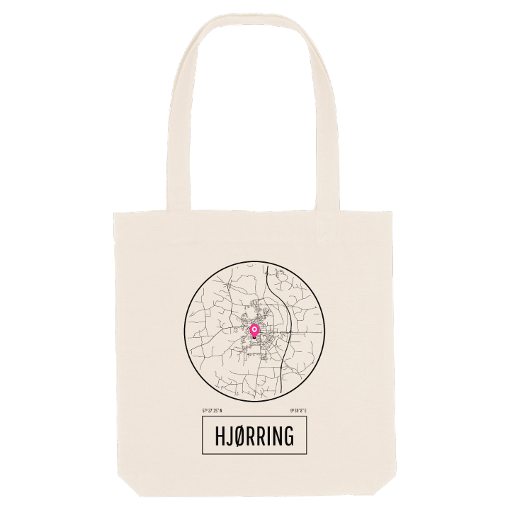


About Hjørring
Oldest market town
Pedestrian streets
Historical museum
On Sct. Olai's churchyard, raised high above the streets of Hjørring, a spring rises, and tradition holds that the town grew up beside it. Central Hjørring sits on an isolated hill island near the top of the Jutland peninsula, lived on since the Iron Age because good springs meant there was always water, and because two streams set out from the same high ground, people could reach it dry-shod from several directions.
Vendsyssel Historiske Museum shows what this land has given up, among it the gold bracteates found near the town, and opposite the gymnasium Femhøjen marks a group of ancient burial mounds. The parks Christiansgave and Svanelunden bring green into the centre, and Vendsyssel Kunstmuseum completes the picture. Hjørring has no harbour of its own; the coast is a short trip away at Hirtshals, Løkken and Lønstrup.
The spring itself once ran in a pipe beneath the paving of the pedestrian street, the water that gave Strømgade its name, and came out at Springvandspladsen in the middle of town.
Shown on the map
Location: Region Nordjylland, Denmark
Coordinates: 57.4572°N, 9.9856°E
