

Every design for Herne
The big city that shaped you
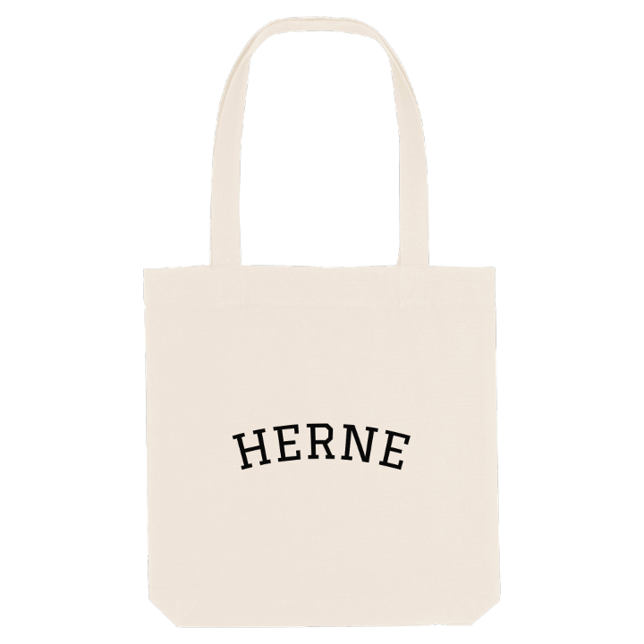
13 unique designs from the city of Herne in Nordrhein-Westfalen – map designs, local expressions and symbols only people who know the place will read. Also available as t-shirt, hoodie or tote bag.
T-shirt
from 249 SEK


Hoodie
from 499 SEK


Tote bag
from 129 SEK


About Herne
Cranger Kirmes
Coal mining
Ruhr midpoint
Squeezed between Bochum to the south and Recklinghausen to the north, Herne sits on the southern slope of the broad Emscher valley, with the Rhine–Herne Canal and the Emscher itself tracing much of its northern edge. The bridge on Bochumer Strasse over the canal is where Herne stops and Recklinghausen begins.
That position puts the city at the very centre of things: the calculated midpoint of the whole Ruhr area is a granite stone on a pavement in Röhlinghausen. Few German cities are more tightly packed – only Munich and Berlin are denser – and in 1975 Herne took in the neighbouring city of Wanne-Eickel. Until the 19th century this was a tiny village; then the coal mines opened and people arrived from across the east of Germany. After the Second World War people called it Die Goldene Stadt, the Golden City, because it had come through with comparatively little damage. Schloß Strünkede, Haus Crange and the LWL-Museum für Archäologie und Kultur hold the longer story.
For anyone who grew up here, the map is full of places you knew before you could read one: the canal, the Revierpark Gysenberg, and the fairground at Crange, where the Cranger Kirmes grew out of an old horse market.
Shown on the map
Location: Nordrhein-Westfalen, Germany
Coordinates: 51.5380°N, 7.2200°E
