

Every design for Herlev
Wear your town with pride
13 unique designs from the town of Herlev in Region Hovedstaden – map designs, local expressions and symbols only people who know the place will read. Also available as t-shirt, hoodie or tote bag.
T-shirt
from 249 SEK


Hoodie
from 499 SEK


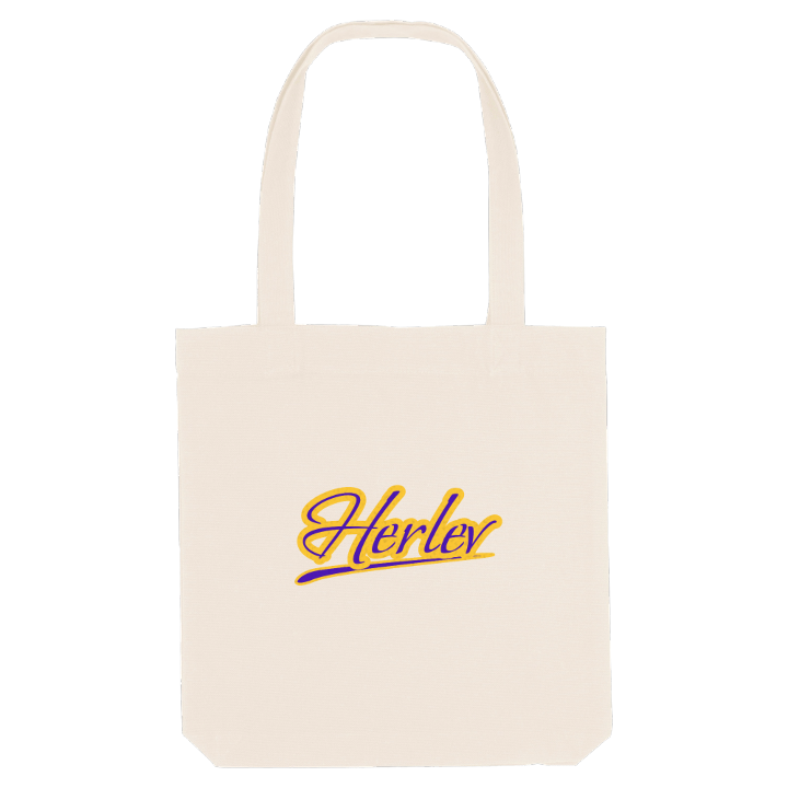
Tote bag
from 129 SEK




About Herlev
Herlev Hospital
Ice hockey
Skt. Laurentii church
Herlev Kirke, the late-medieval church of Skt. Laurentii, explains the gridiron on the town's coat of arms: its patron, Saint Lawrence, was martyred on one. The village around the church is first recorded in the thirteenth century, and for most of its life Herlev was farmland north-west of Copenhagen, between Rødovre, Ballerup and Gladsaxe.
What sets Herlev apart is how firmly it once refused to become a suburb. When new building spread through neighbouring Gladsaxe, its voters declared Herlev an agricultural town that meant to stay that way, chose to break away and won a municipality of their own. The station on the Frederikssund line brought commuters regardless, and the village became a town. Later came Herlev Hospital, for decades the tallest building in Denmark, and the Gammelgaard art and culture centre.
Look closer and the older layers are still there, in the ancient sites of Sneglehøj and Gladsaxe Dyssekammer and in the green of Elverparken. Ask anyone from Herlev, and they will tell you that the hospital on the skyline means one thing: nearly home.
Shown on the map
Location: Region Hovedstaden, Denmark
Coordinates: 55.7248°N, 12.4377°E
