

Every design for Heerlen
The big city that shaped you
13 unique designs from the city of Heerlen in Limburg – map designs, local expressions and symbols only people who know the place will read. Also available as t-shirt, hoodie or tote bag.
T-shirt
from 249 SEK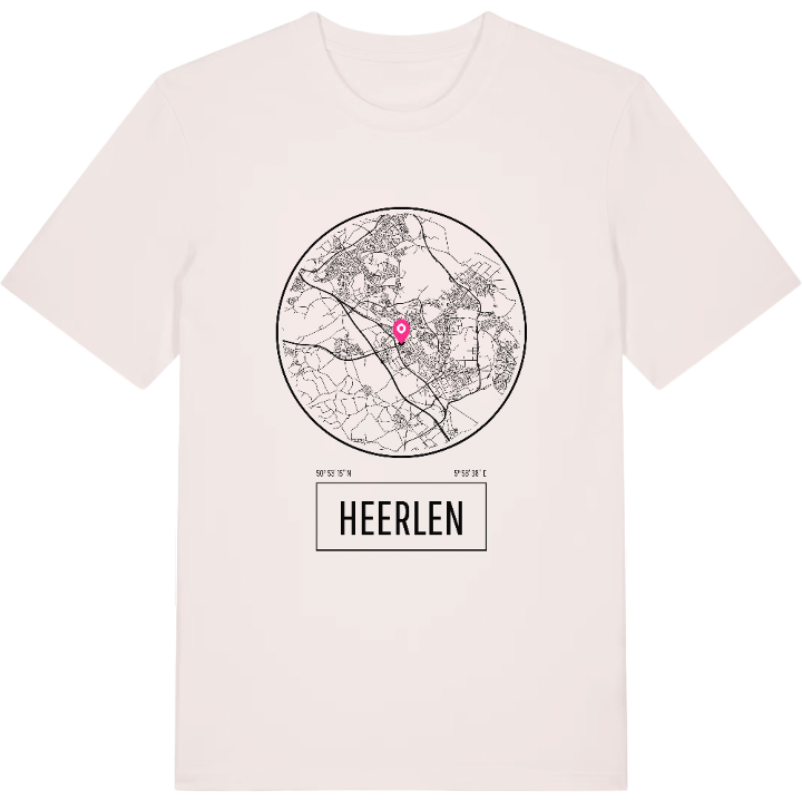


Hoodie
from 499 SEK


Tote bag
from 129 SEK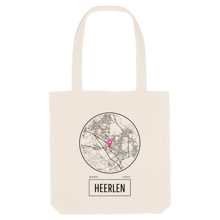


About Heerlen
coal mining
Roman Coriovallum
the Glaspaleis
Coal made Heerlen. Within a few decades of the first mine opening, a quiet farming village in the south of Limburg became a busy city, its skyline marked by two great chimneys known simply as Lange Jan and Lange Lies. The mines are gone now, but the Nederlands Mijnmuseum keeps their memory, and Lange Jan survives as a monument.
The city lies in the far south-east of the Netherlands, east of Maastricht and just north of Aachen, at the heart of Parkstad Limburg. It is old ground: the Romans built Coriovallum here where two of their main roads crossed, and their bathhouse is counted among the oldest buildings in the country. Around the town, the rolling valleys hold castles such as Kasteel Terworm and Kasteel Strijthagen, and the Geleenhof. In the centre, Frits Peutz's Glaspaleis shows how boldly the twentieth century rebuilt the place.
For anyone who grew up here, a map of Heerlen traces the miners' streets, the castle walks and the road home over the hills.
Shown on the map
Location: Limburg, Netherlands
Coordinates: 50.8877°N, 5.9773°E
