

Every design for Harjavalta
Wear your town with pride
13 unique designs from the town of Harjavalta in Satakunta – map designs, local expressions and symbols only people who know the place will read. Also available as t-shirt, hoodie or tote bag.
T-shirt
from 249 SEK


Hoodie
from 499 SEK


Tote bag
from 129 SEK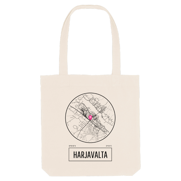


About Harjavalta
Copper smelting
Flash smelting
Hiittenharju ridge
Along the crest of Hiittenharju the old Huovintie route still runs past Bronze Age burial cairns, and on the ridge's flanks you can trace the shore of the ancient Litorina Sea. People have lived around Harjavalta since long before written records. When the records do begin, in fifteenth-century documents of Turku Cathedral, the name appears as Harianwalta, Hariawalta and several other spellings, and scholars trace it to a Proto-Germanic name built from words for army and authority, recorded by Tacitus as Chariovalda.
What sets Harjavalta apart is metal. The town, south-east of Pori on the Kokemäenjoki in Satakunta, is a centre of copper and nickel smelting, and it was here, shortly after the Second World War, that flash smelting was developed and first put to work, the method now used most widely to recover metal from ore. The works began under Outokumpu; today the copper side belongs to Boliden. Before industry came farming, and the first village shops sold salt, coffee, sugar, licorice and tobacco to the villages around Merstola and the church.
In the town centre, Kyntäjän patsas, the ploughman, stands for that older Harjavalta, while Vartiosotilas keeps watch nearby and Kalevanpuisto offers a green pause beside Keskusaukio.
Shown on the map
Location: Satakunta, Finland
Coordinates: 61.3125°N, 22.1357°E
