

Every design for Harestua
Small village, big feelings
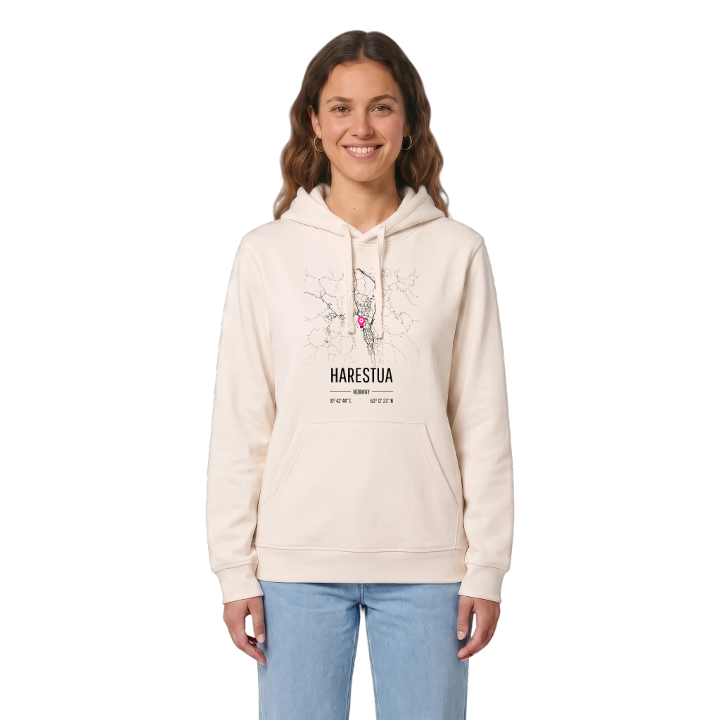
13 unique designs from the village of Harestua – map designs, local expressions and symbols only people who know the place will read. Also available as t-shirt, hoodie or tote bag.
T-shirt
from 249 SEK


Hoodie
from 499 SEK



Tote bag
from 129 SEK




About Harestua
Harestuvatnet lake
Commuter town
Battles of 1716
Harestua sits on the shore of Harestuvatnet in Lunner, on Hadeland, with the forests of Nordmarka and Romeriksåsene behind it and Oslo to the south down the Gjøvik Line. It is a commuter town for the capital, and the lake and the hills are what people come home to.
What sets Harestua apart is how much history lies along that one stretch of water. People lived here in the Stone Age, and flint has been found by the lake. The old royal road between Oslo and Bergen once followed the shore, and traces of it remain east of today's road. In 1716 a small band of local men held up Swedish dragoons in the woods here for nine hours, and in April 1940 the area saw heavy fighting again. A memorial stone at Runddelen, north of Bjørgeseter, honours those who fell in both. Even the lake's old name, Nitjusjor, lives on in the river Nitelva and in Nittedal. Geithaugen and the bay at Karterudvika are close by on the map.
On a summer evening, the new lit path runs along the shore from the village centre to the sandy beach at Bøhrentangen, where canoes go out on Harestuvatnet.
Shown on the map
Location: Norway
Coordinates: 60.2066°N, 10.7124°E
