

Every design for Hanko
Wear your town with pride
13 unique designs from the town of Hanko in Uusimaa – map designs, local expressions and symbols only people who know the place will read. Also available as t-shirt, hoodie or tote bag.
T-shirt
from 249 SEK


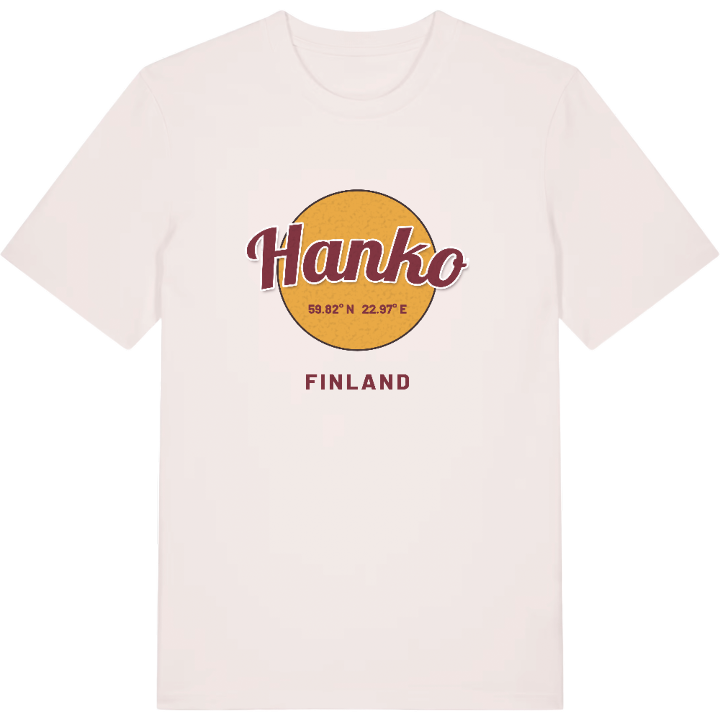
Hoodie
from 499 SEK


Tote bag
from 129 SEK


About Hanko
Sandy beaches
Archipelago
Port of Hanko
Hanko sits at the tip of a long finger of land pushing out into the Gulf of Finland, the southernmost point of the Finnish mainland, with the sea on three sides. The town is known for kilometre after kilometre of sandy beach, an archipelago scattered with islets, and a harbour that once kept ships moving in winter when the country's other ports were shut by ice. It is bilingual too, Hangö to its Swedish speakers.
That position has always made Hanko matter. Long before the town existed, sailors waiting for a fair wind carved their names into the rocks at Hauensuoli, and the Battle of Gangut was fought in the waters just north of the peninsula. Gustavsvärnin linnoitus, one of the forts raised on the outer islands, still guards the approach. In town the skyline belongs to Hangon vesitorni and the church, both given their present look after the war, while Hangon museo tells the longer story.
Drive back down the peninsula, pines on either side and the water tower rising ahead, and it feels like reaching the end of the country and arriving home in the same moment.
Shown on the map
Location: Uusimaa, Finland
Coordinates: 59.8248°N, 22.9679°E
