

Every design for Groesbeek
Wear your town with pride
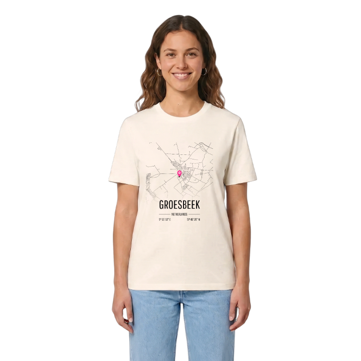
13 unique designs from the town of Groesbeek in Gelderland – map designs, local expressions and symbols only people who know the place will read. Also available as t-shirt, hoodie or tote bag.
T-shirt
from 249 SEK





Hoodie
from 499 SEK




Tote bag
from 129 SEK




About Groesbeek
Ice-age valley
Market Garden
Wooded hills
The valley in which Groesbeek lies was carved by glaciers in the Saale ice age, the farthest south the ice ever reached in the Netherlands, and the hills around it are still rising, slowly, through tectonic uplift. The oldest record of the name dates from 1040, when a farmstead called Gronspech was granted to one Sindicho; the stream that gave the town its name no longer exists in its original form.
Groesbeek sits south-east of Nijmegen, between the Nijmeegse heuvelrug and the Reichswald, with woods such as the Groesbeekse bos and Dekkerswald separating it from the city. For centuries those forests kept the village apart, with a close community and a strong dialect; only the railway and later a paved road to Nijmegen ended that isolation. In Operation Market Garden the 82nd Airborne Division landed here, and the fighting left the town almost entirely destroyed. The Vrijheidsmuseum now stands on one of the landing sites, and the Generaal Gavin monument is part of the same landscape of memory.
Grow up here and the map of Groesbeek is written in climbs: the Wolfsberg, the Hooge Hoenderberg, every hill you ever pushed a bike up on the way home.
Shown on the map
Location: Gelderland, Netherlands
Coordinates: 51.7741°N, 5.9305°E
