

Every design for Glostrup
Wear your town with pride
13 unique designs from the town of Glostrup in Region Hovedstaden – map designs, local expressions and symbols only people who know the place will read. Also available as t-shirt, hoodie or tote bag.
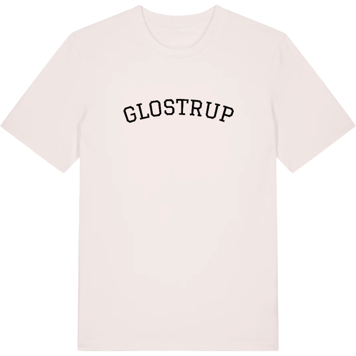
T-shirt
from 249 SEK


Hoodie
from 499 SEK


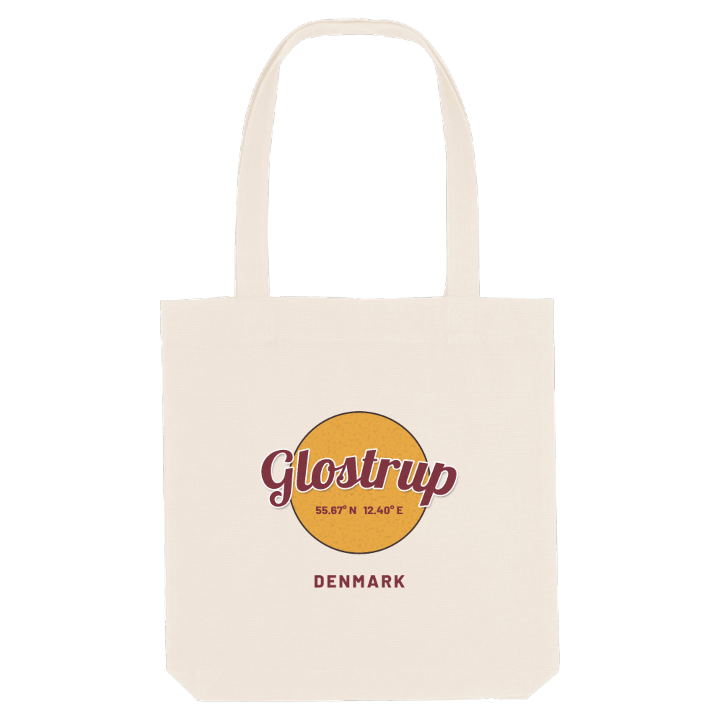
Tote bag
from 129 SEK


About Glostrup
Railway town
Glostrup Hospital
Vestvolden
Glostrup station opened in the middle of the nineteenth century on Denmark's very first railway, the line from Copenhagen to Roskilde, and it turned a farming village named after its founder, Glob, into a town. Over the century that followed it became a middle-class suburb, with a soap factory, Glostrup Hospital in the north of town and later companies such as Pandora settling here.
Glostrup lies among Copenhagen's western suburbs, between Rødovre, Herlev, Ballerup, Albertslund and Brøndby, and the road to Roskilde, built between the capital and that city, has long been the main road through it. Everyday life runs between the station, the shops and the town hall, with Vestvolden, Oplevelsescenter Vestvolden and Byhistorisk Hus close at hand, and Hvissinge grown together with the town into one built-up area.
If you caught your first train at Glostrup station or grew up in Hvissinge, you will know every one of these streets by heart.
Shown on the map
Location: Region Hovedstaden, Denmark
Coordinates: 55.6692°N, 12.3960°E
