

Every design for Głogów
Wear your town with pride
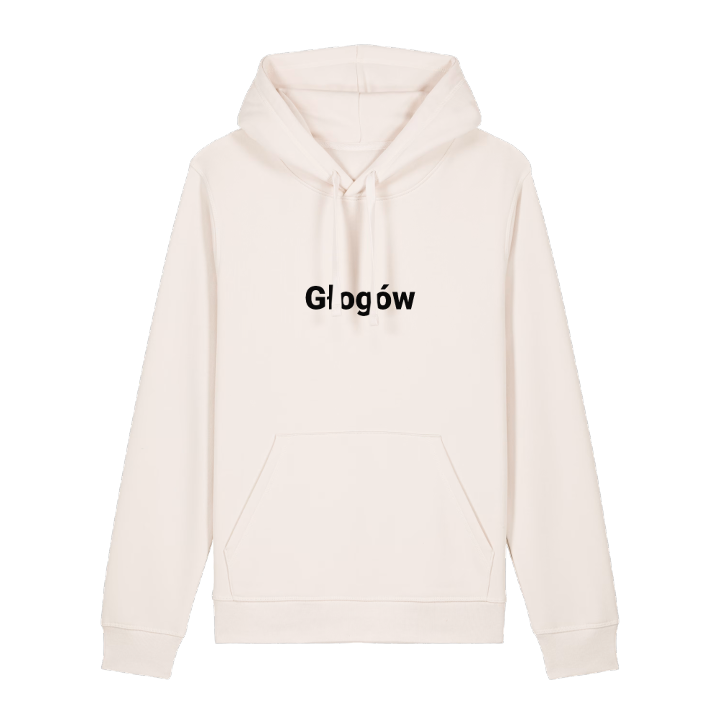
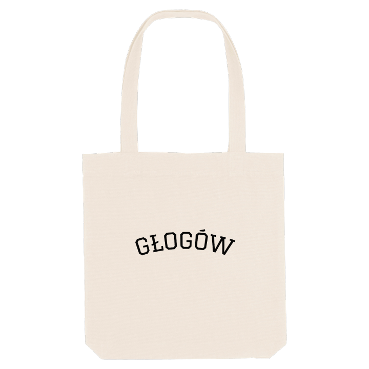
13 unique designs from the town of Głogów in Województwo Dolnośląskie – map designs, local expressions and symbols only people who know the place will read. Also available as t-shirt, hoodie or tote bag.
T-shirt
from 249 SEK


Hoodie
from 499 SEK




Tote bag
from 129 SEK


About Głogów
Piast stronghold
copper industry
Głogów Jazz Festival
Głogów lies on the Oder in the broad Głogów ice-marginal valley, in the north-west of Lower Silesia, where green riverbanks give way to the copper smelter and the mines that keep the town busy.
There is a resilience you sense as soon as you arrive. Founded as a Piast stronghold and long one of the largest fortified towns in Lower Silesia, Głogów was turned into a fortress once again at the end of the Second World War and almost entirely destroyed. What you see now is a town still putting itself back together: the Zamek Książąt Głogowskich, rebuilt and home to the Muzeum Archeologiczno-Historyczne w Głogowie, and an Old Town being restored to its pre-war appearance, with the Ratusz once more at its centre. Everyday life follows copper, since Głogów belongs to the Copper Basin, one of the richest regions in Poland, but the town has another rhythm too: every year the Głogów Jazz Festival brings local and international musicians to its stages. Even the name has a softer side, taken from głóg, the hawthorn.
Picture the Oder sliding past Ostrów Tumski at dusk, with the waterfowl settling into the willow thickets below the town.
Shown on the map
Location: Województwo Dolnośląskie, Poland
Coordinates: 51.6634°N, 16.0861°E
