

Every design for Gera
Wear your town with pride
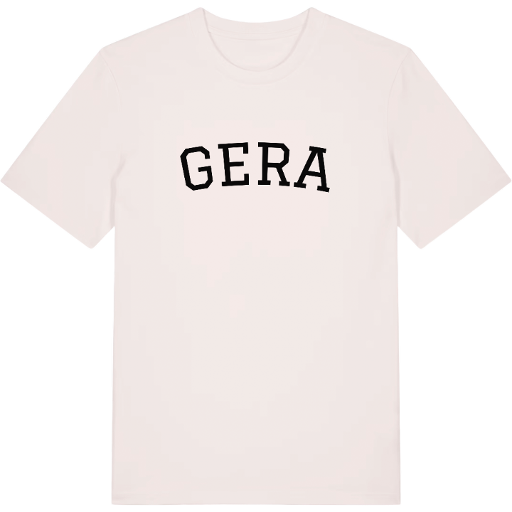
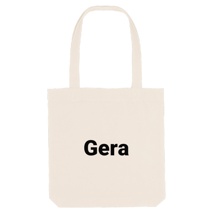
13 unique designs from the town of Gera in Thüringen – map designs, local expressions and symbols only people who know the place will read. Also available as t-shirt, hoodie or tote bag.
T-shirt
from 249 SEK


Hoodie
from 499 SEK


Tote bag
from 129 SEK




About Gera
Otto Dix
Textile-era villas
White Elster valley
Start at the Orangerie and the Küchengarten, and Gera shows its green side straight away. The Hofwiesenpark and the Botanischer Garten Gera belong to the same picture, and in 2007 the city hosted Germany's federal garden show. Around them, Gera spreads across the wide valley of the White Elster, in the East Thuringian Hill Country, where the river leaves its narrow gorge at the edge of the Thuringian Slate Mountains.
What sets Gera apart is the wealth it once had. In the 19th century it became a centre of the textile industry and grew fast, and more than a hundred grand villas and Gründerzeit buildings still line its streets. It was a capital in its own right too, of the Principality of Reuss-Gera and later the People's State of Reuss, before Thuringia was formed. The painter Otto Dix was born here, and the Otto-Dix-Haus remembers him.
On the map, the city follows the river north, with the steep western edge of the valley on one side and gentler slopes rising to the east on the other.
Shown on the map
Location: Thüringen, Germany
Coordinates: 50.8766°N, 12.0833°E
