

Every design for Frekhaug
Small village, big feelings
13 unique designs from the village of Frekhaug – map designs, local expressions and symbols only people who know the place will read. Also available as t-shirt, hoodie or tote bag.
T-shirt
from 249 SEK






Hoodie
from 499 SEK


Tote bag
from 129 SEK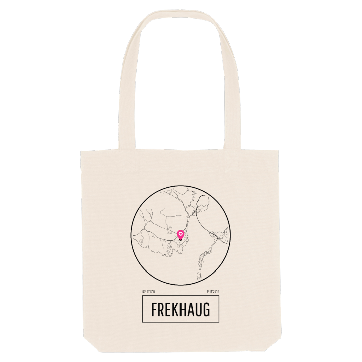




About Frekhaug
Frekhaug Manor
Salhusfjorden
Folk high school
Frekhaug is known for its manor: Frekhaug hovedgård, a white-panelled, two-storey log house with a hipped roof and a rococo doorway, surrounded by granite walls on the south-eastern side of Holsnøy. A skipper, Cort Abrahamsen Holtermann, bought the farm in 1780, and since 1914 it has belonged to Nordhordland indremisjon, the home mission. Until the merger that created Alver Municipality, the village was also the administrative centre of the old Meland Municipality.
Day to day, though, Frekhaug is a village of schools and workshops. Nordhordland Folkehøgskule, a folk high school, has its home here, alongside Meland Ungdomsskule and Danielsen ungdomsskole Frekhaug, and the window maker Frekhaug vinduet has been in business since 1938.
Many remember Frekhaug from the water. The village sits on the Salhusfjorden at the southern tip of Holsnøy, north of Bergen and a short way south-west of Knarvik, with coves such as Badevika below and hills such as Storeknappen, Lilleknappen and Furefjellet above. Nearby stands Tellevik kystfort, a coastal fort turned museum.
If you spent your school years walking between the manor and the fjord, you already know why this map matters to you.
Shown on the map
Location: Norway
Coordinates: 60.5182°N, 5.2404°E
