

Every design for Fosnavåg
Wear your town with pride
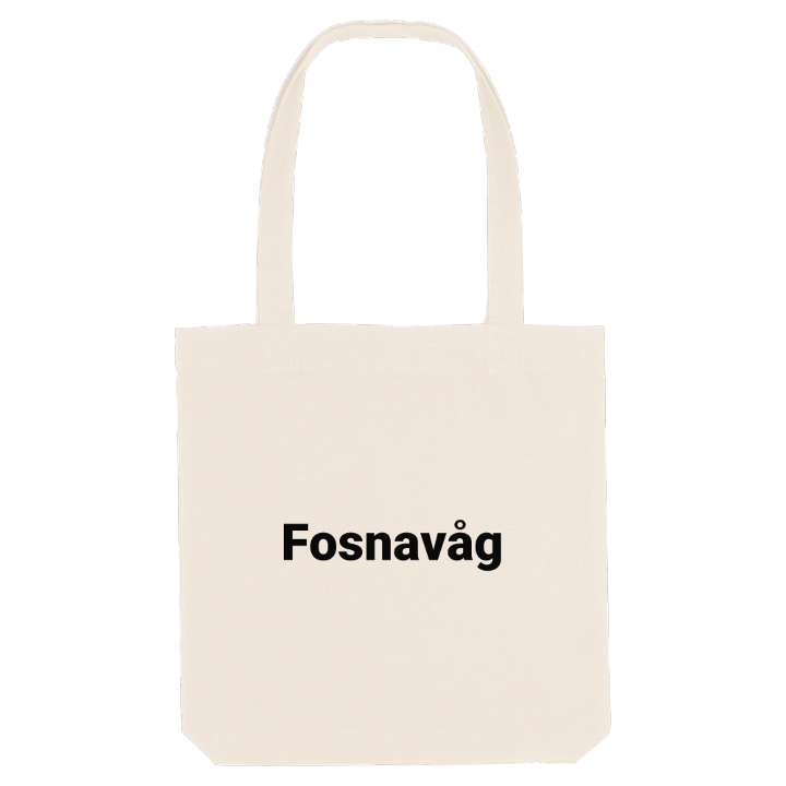
13 unique designs from the town of Fosnavåg – map designs, local expressions and symbols only people who know the place will read. Also available as t-shirt, hoodie or tote bag.
T-shirt
from 249 SEK


Hoodie
from 499 SEK


Tote bag
from 129 SEK




About Fosnavåg
Shipping companies
Island bridges
Herøyfjorden
Can you name another town whose name means hiding place? Fosnavåg takes its name from Fólgsn, the Old Norse name for the island of Bergsøya, from a word for hiding or concealing, and the snug harbour here shows why. The town spreads across Bergsøya, including the Eggesbønes area on its southern shore, along the Herøyfjorden.
What makes Fosnavåg unusual is its web of bridges. The Nerlandsøy Bridge leads west to Kvalsund on Nerlandsøya, and a small bridge to the east joins Leinøya, which in turn links to Remøya and Runde. To the south lies the large island of Gurskøya, and just off Eggesbønes are the Flåværet islands and the Flåvær Lighthouse. Once mainly a fishing port, the town is now home to shipping companies, offshore firms and shipbuilders, Havila Shipping and Rem Offshore among them.
Around the town, the landscape opens into peaks and water: Storehornet, Hornseten and Igesundhetta above, Holmefjorden and Vikevatnet below, and the Myklebustvatnet naturreservat a short way off.
If you have ever driven over the bridges with the islands spread out on either side, this one is yours.
Shown on the map
Location: Norway
Coordinates: 62.3421°N, 5.6342°E
