

Every design for Foligno
Wear your town with pride
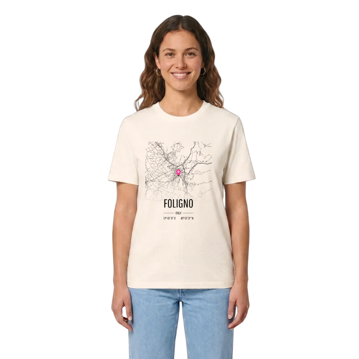
13 unique designs from the town of Foligno in Umbria – map designs, local expressions and symbols only people who know the place will read. Also available as t-shirt, hoodie or tote bag.
T-shirt
from 249 SEK



Hoodie
from 499 SEK


Tote bag
from 129 SEK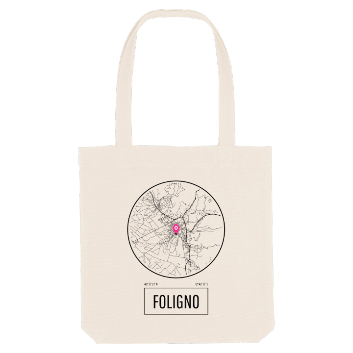


About Foligno
Railway junction
Roman street grid
Valle Umbra
Foligno grew up where the Via Flaminia forked and the Topino river reached the valley floor, and the centre still keeps the Roman grid of straight streets meeting at right angles. In the nineteenth century the river was tamed to protect the town from floods; later the railway arrived, and Foligno became the junction where the Rome to Ancona line meets the branch to Perugia.
The Palazzo Trinci and the Cattedrale di San Feliciano are the landmarks of the old centre, and the Pinacoteca civica keeps the town's art. The railway brought work, repair yards and, in the Second World War, heavy bombing, which is why much of Foligno looks relatively modern. Few towns in Umbria lie so flat, which makes it a place of bicycles and evening strolls, with the Apennines always in view.
If you grew up here, the map brings it all back: the walk along the Parco Fluviale Hoffmann, the trains sounding across town, the Calamita Cosmica you passed on the way to meet friends.
Shown on the map
Location: Umbria, Italy
Coordinates: 42.9560°N, 12.7035°E
