

Every design for Florø
Wear your town with pride
13 unique designs from the town of Florø – map designs, local expressions and symbols only people who know the place will read. Also available as t-shirt, hoodie or tote bag.
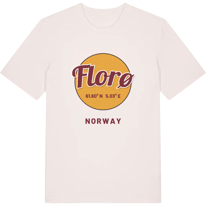
T-shirt
from 249 SEK


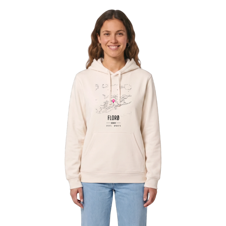
Hoodie
from 499 SEK



Tote bag
from 129 SEK



About Florø
Westernmost Norwegian town
Herring fisheries
Kystmuseet
Florø is the westernmost town in Norway, spread over the whole island of Florelandet and the western half of Brandsøya, between the Botnafjorden and the Solheimsfjorden. Out beyond it lie the islands of Reksta, Kinn and Skorpa, and then the open sea.
The town feels made by the ocean, and in a sense it was: planned from the start on the rich herring fisheries, which still swim as three herrings across its coat of arms. Kystmuseet keeps that story, Strandgata runs along the shore as the main street, Hurtigruten calls at the quay, and bays such as Båtevika and Gunhildvågen cut into the edges of town.
If you grew up here, you know the wind off the sea and the light at the very edge of the country. This map is your coastline.
Shown on the map
Location: Norway
Coordinates: 61.6003°N, 5.0350°E
