

Every design for Flateby
Small village, big feelings
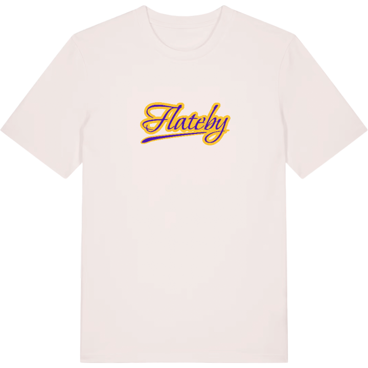
13 unique designs from the village of Flateby – map designs, local expressions and symbols only people who know the place will read. Also available as t-shirt, hoodie or tote bag.
T-shirt
from 249 SEK




Hoodie
from 499 SEK


Tote bag
from 129 SEK


About Flateby
Views over Øyeren
Turbofjøla snowboarding
Old Flateby estate
Did you know Flateby was once simply called Stranden, the shore? That was the name for centuries, until the route boats were christened D/S Flateby and the name of the old estate took over.
Flateby bruk and Rud naturreservat are names on today's map, but it was the Fladebyegodset that gave the village its name, from the Old Norse Flatibyr, a flat farm. The estate was inherited by James Collett and later became one of John Collett's, and its three-storey house was a struggle to heat through the winter.
Today Flateby is the northern part of Enebakk Municipality, bordering Oslo, Rælingen and Lillestrøm, and much of it looks out over the lake Øyeren. Its life gathers around Flateby Samfunnshus, the trails and ski tracks into Østmarka, the snowboard club Turbofjøla and concerts in Flatebyhallen.
Come home over the hill, see Øyeren spread out below, and you know where you belong.
Shown on the map
Location: Norway
Coordinates: 59.8293°N, 11.1534°E
