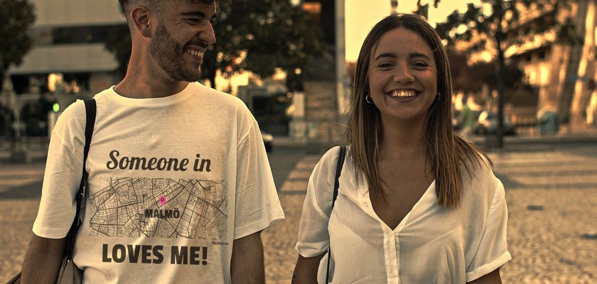
Every design for Eelde
Wear your town with pride
13 unique designs from the town of Eelde in Drenthe – map designs, local expressions and symbols only people who know the place will read. Also available as t-shirt, hoodie, sweatshirt or tote bag.
T-shirt
from 249 SEK


Hoodie
from 449 SEKSweatshirt
from 449 SEKTote bag
from 129 SEKAbout Eelde
Country estates
Flower parade
Groningen Airport Eelde
A belt of country estates, manor houses and villas wraps around Eelde, so complete that the whole ring is protected as a conservation area. The village lies in the north of Drenthe, part of the municipality of Tynaarlo, a few kilometres south of Groningen, with Groningen Airport Eelde on its doorstep. Over the twentieth century it grew into its neighbour Paterswolde, and the road signs now read Eelde-Paterswolde.
The village has a long memory. A charter from 1139 already names it as Elde, and the old church sits at the centre of that document. South of the village lies De Waterburcht, the castle mound where the local schulte probably held court. Later centuries added Havezate Oosterbroek, Huis Vennebroek and the woods of Landgoed De Braak, and today Museum De Buitenplaats and the Internationaal Klompenmuseum keep the village busy with visitors.
Each year the flower parade fills the streets, and the Paterswoldse meer glints just to the north. The old municipal arms still show a black raven carrying a blue crossbow in its beak.
Shown on the map
Location: Drenthe, Netherlands
Coordinates: 53.1346°N, 6.5634°E