

Every design for Dorsten
Wear your town with pride
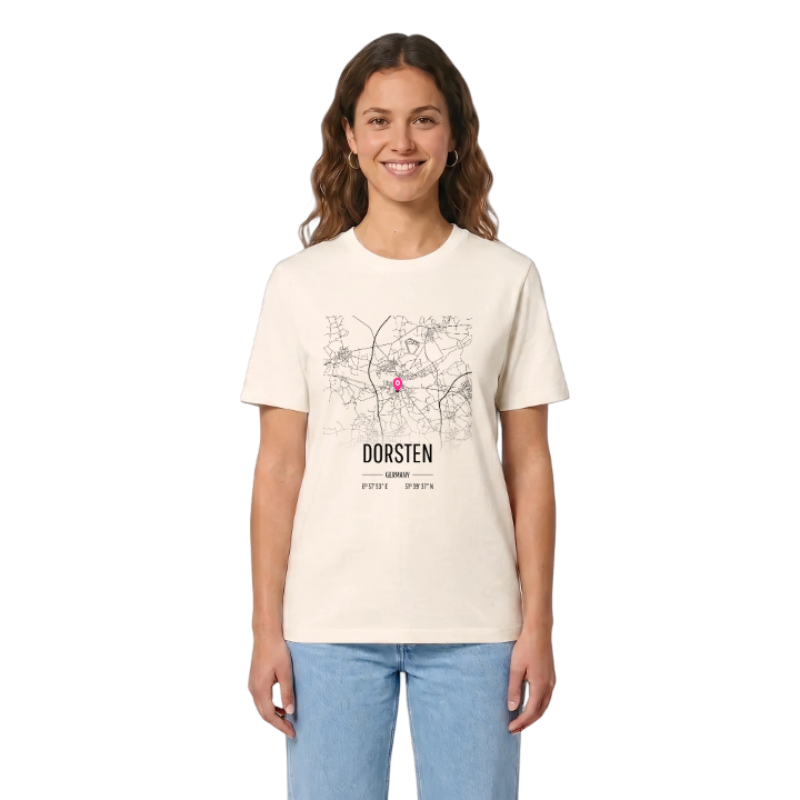
13 unique designs from the town of Dorsten in Nordrhein-Westfalen – map designs, local expressions and symbols only people who know the place will read. Also available as t-shirt, hoodie or tote bag.
T-shirt
from 249 SEK



Hoodie
from 499 SEK


Tote bag
from 129 SEK


About Dorsten
River Lippe
Roman camp
Franciscan friary
Dorsten lies on the lower Lippe, where the last towns of the Ruhr give way to the farms and castles of the Münsterland. The old town sits on the south bank of the river and the Wesel–Datteln Canal, while the districts to the north spread out into pasture and woodland, with the Hohe Mark, the Üfter Mark and the Kirchheller Heide wrapping round the edges.
Few towns this size carry so much history so lightly. Roman soldiers camped at Holsterhausen, and Varus passed through on his way to the Teutoburg Forest; the site is now known as the Römerlager Holsterhausen. Later Dorsten joined the Hanseatic League and grew rich on river trade. Its Franciscan friary has survived longer than any other house of the order, and the Jüdisches Museum Westfalen tells the story of Jewish life in the region. Daily life is quieter: walks along the old towpath, summer afternoons at the Blaue See, a coffee by the Brunnenplatz in the rebuilt old town.
On the riverbank stands the Kilometerstein 147 des alten Lippe-Treidelpfades, a weathered marker from the days when horses hauled barges upstream, still counting off the distance as the water slides past.
Shown on the map
Location: Nordrhein-Westfalen, Germany
Coordinates: 51.6604°N, 6.9647°E
