

Every design for Den Helder
Wear your town with pride
13 unique designs from the town of Den Helder in Noord-Holland – map designs, local expressions and symbols only people who know the place will read. Also available as t-shirt, hoodie or tote bag.
T-shirt
from 249 SEK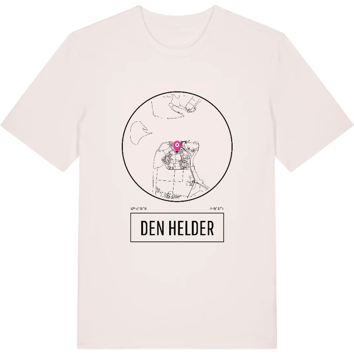




Hoodie
from 499 SEK


Tote bag
from 129 SEK


About Den Helder
The naval base
The Texel ferry
Coastal forts
During the All Saints' Flood of 1570 the sea swept away much of the dunes here, and with them the hamlet of Huisduinen and the village of Helder. Both were rebuilt further inland, and from that restart grew Den Helder, the port town at the very northern tip of the North Holland peninsula.
What makes it distinctive is that the navy sets the rhythm. This is the country's main naval base. The Marinemuseum and the HNLMS Schorpioen tell the naval story, Fort Erfprins and Fort Westoever once guarded the water, and the Nationaal Reddingmuseum Dorus Rijkers honours the lifeboat crews of this coast. The TESO ferry links the town with Texel, across the Marsdiep.
Locals have more names for themselves than most towns: Nieuwedieper, after the old harbour channel, or Jutter, after the beachcombers of the past, a title some say you can only claim if your parents were born here too. If that is you, you know the wind off the Marsdiep, and you know exactly which name you answer to.
Shown on the map
Location: Noord-Holland, Netherlands
Coordinates: 52.9580°N, 4.7603°E
