

Every design for Corbeil-Essonnes
Wear your town with pride
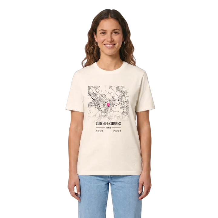
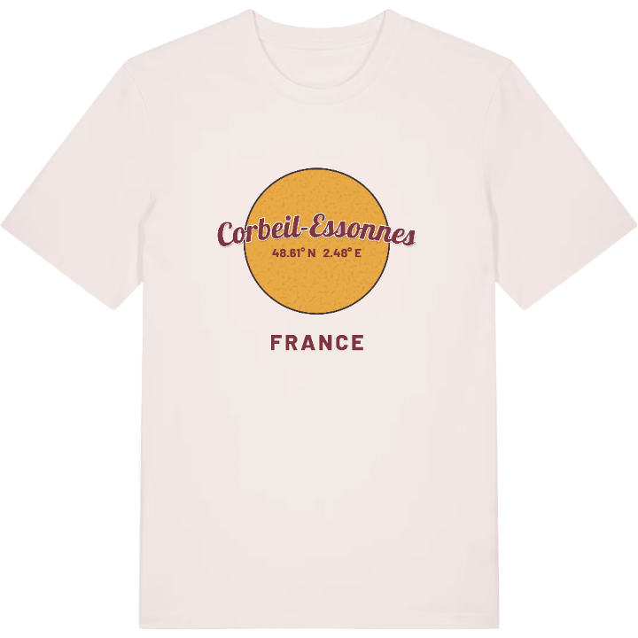
13 unique designs from the town of Corbeil-Essonnes in Île-De-France – map designs, local expressions and symbols only people who know the place will read. Also available as t-shirt, hoodie or tote bag.
T-shirt
from 249 SEK



Hoodie
from 499 SEK


Tote bag
from 129 SEK



About Corbeil-Essonnes
flour mills
the Seine and the Essonne
papermaking
Two towns lie behind the double name. In the middle of the twentieth century Corbeil, a Gallo-Roman settlement that became a royal town guarding the Seine, merged with Essonnes, an industrial town on the road to Paris whose mills ran on the river Essonne. Treaties were signed here between France and Aragon and between France and Scotland, and one of the first machines for making paper in a continuous roll was patented by a man working in Essonnes.
The Anciens remparts de Corbeil, and the gate that survives from them, still mark the edge of the old town, while La Tour Maury and the archaeological digs bring the medieval past back into view. The Grands moulins de Corbeil, which supplied flour to the kings, are a reminder of how much the town owed to its rivers.
Anyone who grew up here, between the quays, the Parc Chantemerle and the streets climbing towards the Hurepoix plateau, will recognise this map as the shape of a childhood. It is the town of the mills, of the two rivers and of every walk home along the Seine.
Shown on the map
Location: Île-De-France, France
Coordinates: 48.6138°N, 2.4818°E
