

Every design for Colomiers
Wear your town with pride
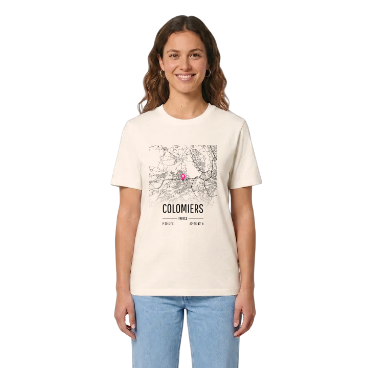
13 unique designs from the town of Colomiers in Occitanie – map designs, local expressions and symbols only people who know the place will read. Also available as t-shirt, hoodie or tote bag.
T-shirt
from 249 SEK



Hoodie
from 499 SEK


Tote bag
from 129 SEK


About Colomiers
aerospace industry
free public transport
rugby club
On Toulouse's western edge, between Blagnac, Tournefeuille and Pibrac, Colomiers is the largest suburb of the city and part of Toulouse Métropole, Colomèrs to those who speak Occitan. Its people are the Columérins, and aviation is in the air here, quite literally: the aeronautics industry occupies the low terrace on the border with Blagnac, and Airbus runs the international school in town.
The Parc de l'Armurier and the Château de l'Armurier are where many people's picture of Colomiers begins. Around them the town opens out into green space, the Bois de Tricherie, the Parc Duroch and a string of smaller woods and gardens, while the Villa gallo-romaine de Gramont shows that this spot on the Garonne terraces was lived in long before the planes arrived. Colomiers also made history in its own way when it became the first place in France to offer free public transport. On weekends, US Colomiers carries the town's colours on the rugby field.
Wherever work or study takes them, Columérins know the way back: off the ring road, past the factories, and into the quiet streets they call home.
Shown on the map
Location: Occitanie, France
Coordinates: 43.6112°N, 1.3367°E
