

Every design for Brest
The big city that shaped you
13 unique designs from the city of Brest in Bretagne – map designs, local expressions and symbols only people who know the place will read. Also available as t-shirt, hoodie or tote bag.
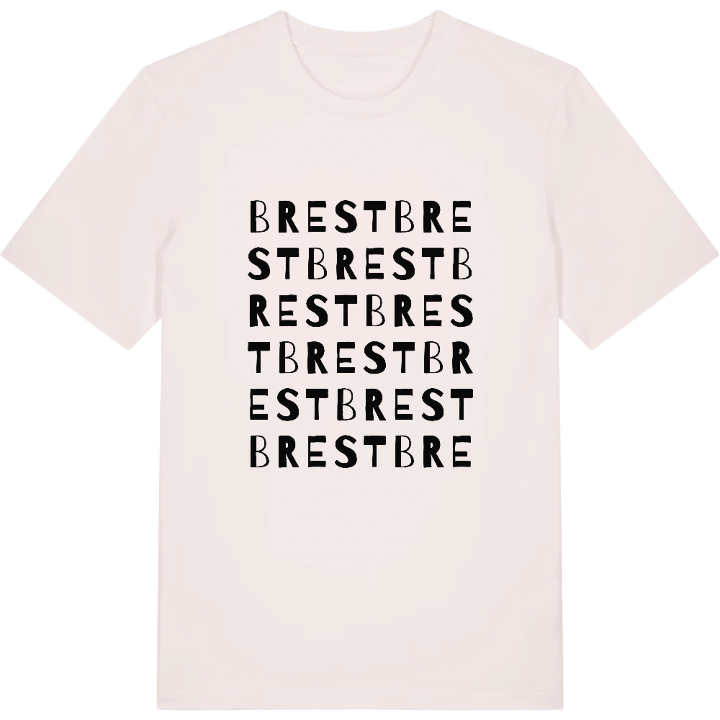
T-shirt
from 249 SEK







Hoodie
from 499 SEK


Tote bag
from 129 SEK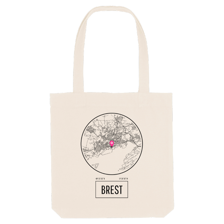


About Brest
Naval port
Rade de Brest
Les Tonnerres de Brest
Have you ever stood on the ramparts of the Château de Brest and watched the light change over the water? Few French cities live this close to the sea. Brest faces a sheltered bay of its own, the rade de Brest, crossed by the Pont Albert-Louppe and the Pont de l'Iroise, while the Penfeld cuts a deep valley through the city on its way down to the water.
The city sits on the western edge of continental France, near the tip of a peninsula, as far west as the mainland goes. That position made it a naval harbour under Richelieu and the second military port in the country after Toulon; the aircraft carrier Charles de Gaulle was built here. The Musée national de la Marine fills the castle, the Tour Tanguy keeps watch across the Penfeld, and every four years Les Tonnerres de Brest brings old rigging from around the world to the quays.
On the map you can trace the centre rebuilt after the war, the ravines running down to the water and the streets you once walked as a child towards the harbour.
Shown on the map
Location: Bretagne, France
Coordinates: 48.3905°N, -4.4860°E
