

Every design for Brekstad
Wear your town with pride
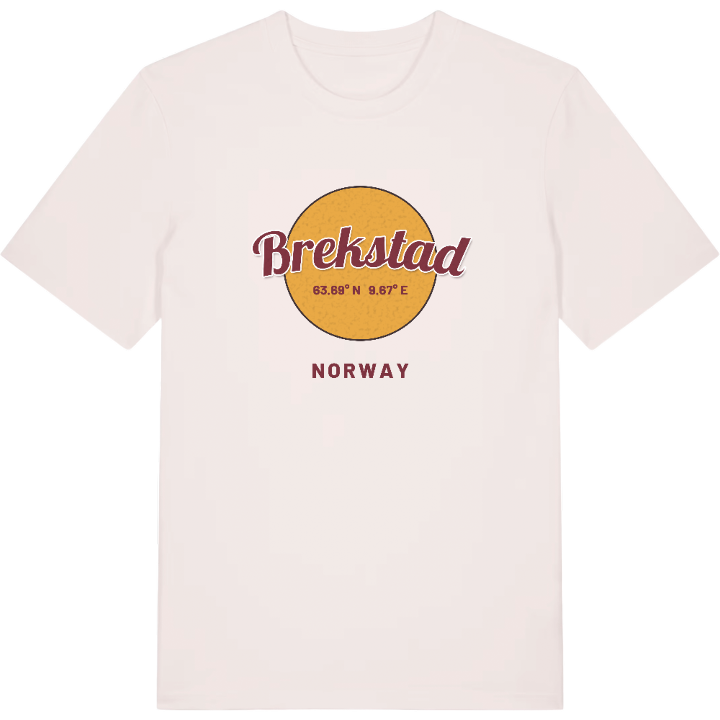
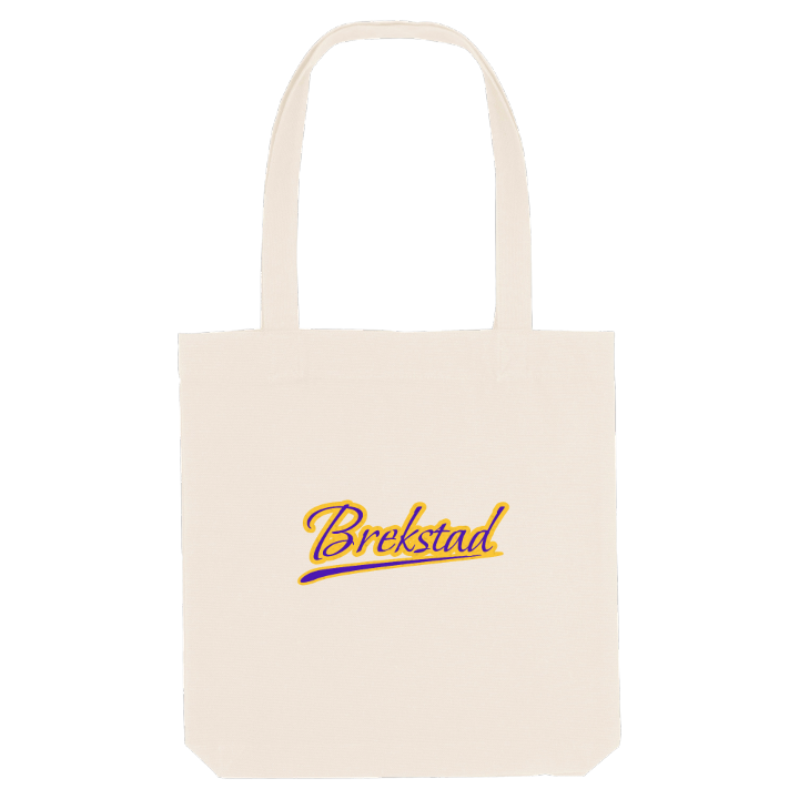
13 unique designs from the town of Brekstad – map designs, local expressions and symbols only people who know the place will read. Also available as t-shirt, hoodie or tote bag.
T-shirt
from 249 SEK


Hoodie
from 499 SEK


Tote bag
from 129 SEK






About Brekstad
Wetland birdlife
Ørland air station
Valset ferry
Brekstad became a town on 8 October 2005, the 95th in Norway, but its name is far older. It comes from the bailiff's farm that still stands at the top of the slope from the harbour, and the first part, brek-, means hill. The post office opened in 1883, and Skjeggehaugen, an ancient burial mound just north-east of Ørland Church, is older than all of it.
The town lies on the Trondheimsfjord at the entrance to the Stjørnfjorden, with Uthaug to the north and Austrått and Ottersbo to the east. It is where the rest of Ørland comes for shops, the courthouse and the cultural centre, and where people work: Ørland Main Air Station, the Mascot Høie linen factory and Coop Fosen are the big employers. Boats link it to Trondheim, Hitra, Frøya and Kristiansund, and the ferry crosses the fjord to Valset.
Around the town the wetlands are protected for birds at Hovsfjæra fuglefredningsområde, with Besøkssenter våtmark Ørland to explain them, and Hannah Ryggen-senteret and Hovde fort are close by. Picture the ferry coming in, the slope up from the harbour and the farm at the top that gave Brekstad its name.
Shown on the map
Location: Norway
Coordinates: 63.6869°N, 9.6665°E
