

Every design for Bredsten
Wear your town with pride
13 unique designs from the town of Bredsten in Region Syddanmark – map designs, local expressions and symbols only people who know the place will read. Also available as t-shirt, hoodie or tote bag.
T-shirt
from 249 SEK





Hoodie
from 499 SEK


Tote bag
from 129 SEK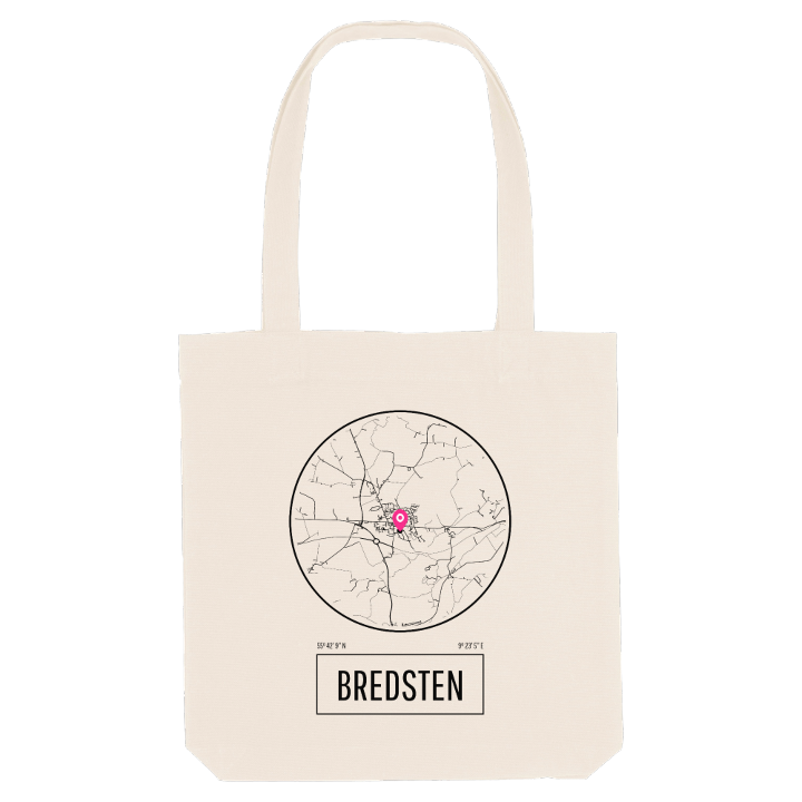


About Bredsten
Onion spire
Vejle Ådal
Ravningbro
Bredsten appears in old records as Breethsteen, and according to a note from 1638 the village takes its name from two broad stones lying just east of it. It sits above Vejle Ådal, the valley west of Vejle, and has grown well beyond its old core: a large estate of family houses runs south towards the valley, an industrial quarter lies to the west, and to the north it has grown together with Balle.
Bredsten Kirke, whitewashed and crowned with an onion spire, has stood at the centre since the Middle Ages. It was rebuilt as a baroque church by the merchant Gerhard de Lichtenberg, the same man behind Engelsholm Slot and the church at Nørup, which is why all three share that onion-shaped silhouette. Around the village, names like Molbohøj, Dybdalbakke and Spejdernes skov belong to the map locals carry in their heads. Bredsten also counts the footballer John Sivebæk among its own.
A short way outside town lies Ravningbro, the bridge Harald Blåtand had built at the height of his power, the oldest landmark of all in this quiet corner of Jutland.
Shown on the map
Location: Region Syddanmark, Denmark
Coordinates: 55.7025°N, 9.3848°E
