

Every design for Bodegraven
Wear your town with pride
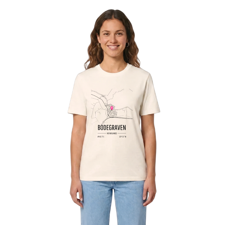
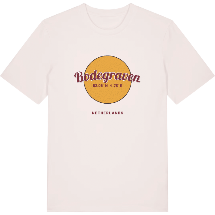
13 unique designs from the town of Bodegraven in Zuid-Holland – map designs, local expressions and symbols only people who know the place will read. Also available as t-shirt, hoodie or tote bag.
T-shirt
from 249 SEK



Hoodie
from 499 SEK




Tote bag
from 129 SEK


About Bodegraven
Green Heart
Oude Rijn locks
Roman Limes
Bodegraven is known for sitting right in the middle of the Green Heart of the Randstad, roughly the same distance from Amsterdam, Rotterdam, The Hague and Utrecht. The Oude Rijn runs straight through the town, with a set of locks in the middle, and the oldest part, the Reformed St Gallus Church, stands on the north bank.
There is a resilience about the place that people here feel without needing to name it. Roman soldiers once guarded this stretch of the empire's northern border, and the Limespark keeps their memory. In the war that began when England, France, Münster and Cologne turned on the Dutch Republic, French troops crossed the frozen polders and destroyed Bodegraven on their retreat; Fort Wierickerschans was built just east of the town afterwards. Later a fire that started in a bakery burnt much of the town and left families homeless, and a national collection paid for it to be rebuilt. Around it all lie the long, straight ditches of the late medieval land reclamation, still drawing their grid over the fields.
If you grew up here, the map shows the streets between the river and the railway, the Bodegraafse Bos and Het Rosarium, and the old fort on the edge of town.
Shown on the map
Location: Zuid-Holland, Netherlands
Coordinates: 52.0834°N, 4.7511°E
