

Every design for Best
Wear your town with pride
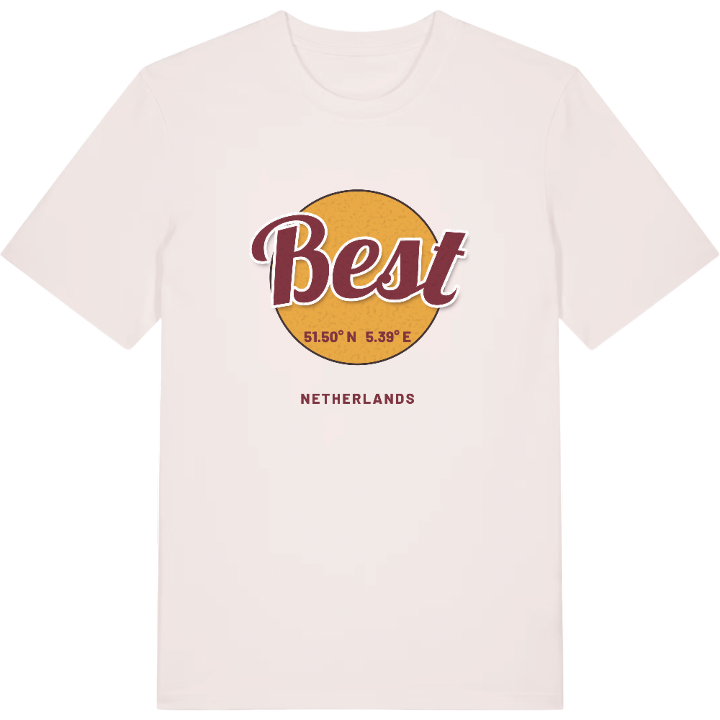
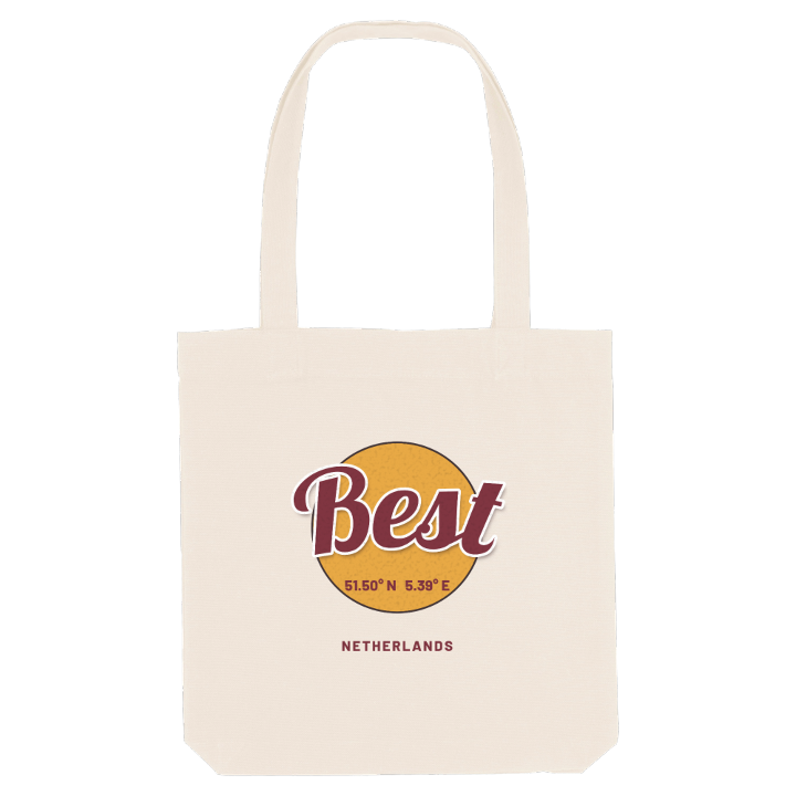
13 unique designs from the town of Best in Noord-Brabant – map designs, local expressions and symbols only people who know the place will read. Also available as t-shirt, hoodie or tote bag.
T-shirt
from 249 SEK


Hoodie
from 499 SEK


Tote bag
from 129 SEK


About Best
Clogs
Philips Healthcare
Motorway junction
Best is known for clogs, and for the companies that turned a scatter of hamlets into a busy village: the shoemaker Bata, then Philips Healthcare, and today also the headquarters of the meat processor Vion. The poplars that still line the landscape once supplied the wood for those clogs, and at carnival the village becomes Klompengat.
Best lies north-west of Eindhoven, where the motorways to Tilburg, Arnhem and 's-Hertogenbosch meet, and on the railway that brings people in from Utrecht or Eindhoven. Its position is the reason it broke away from Oirschot in 1819: it stood on the state road from Amsterdam to Maastricht, and every request to quarter troops here had to go through Oirschot, 10 km away. Daily life moves between the station, the shops and the Sint-Odulphuskerk, with the Koetshuistuin and the Nieuwe Heide for a breath of air, while the hamlets of Aarle and De Vleut keep their country character. The Klompenmuseum Best tells the story of the trade that made the village's name.
On the Oirschotseweg stands the Armenhoef, whose stable has a wooden frame dating from 1263: the oldest stable still in use in Western Europe.
Shown on the map
Location: Noord-Brabant, Netherlands
Coordinates: 51.5034°N, 5.3939°E
