

Every design for Beder-Malling
Wear your town with pride
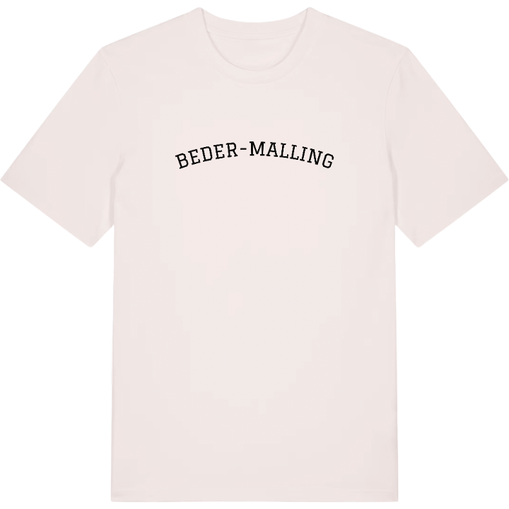
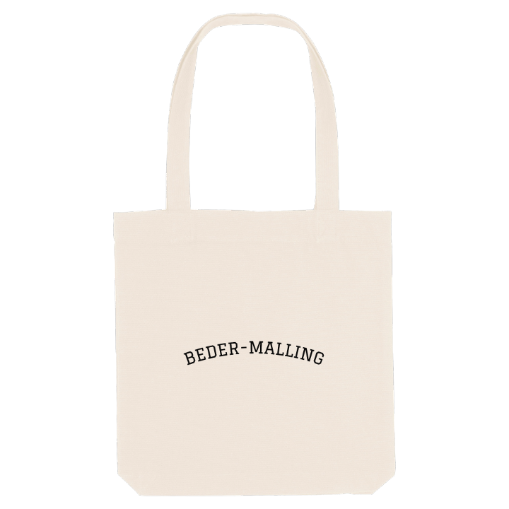
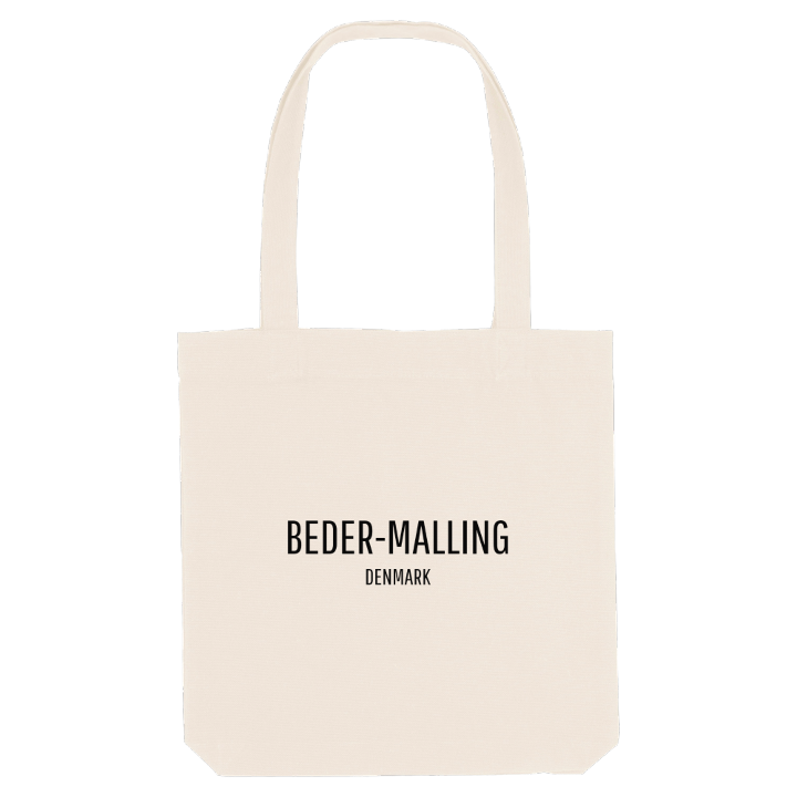
13 unique designs from the town of Beder-Malling in Region Midtjylland – map designs, local expressions and symbols only people who know the place will read. Also available as t-shirt, hoodie or tote bag.
T-shirt
from 249 SEK


Hoodie
from 499 SEK


Tote bag
from 129 SEK




About Beder-Malling
Railway town
Aarhus suburb
Vilhelmsborg
Beder-Malling sits in East Jutland, south-east of Mårslet and a short way south of Aarhus, close enough that the city is part of everyday life. It is a young town in name only: Beder and Malling were two towns before they were counted as one urban area, and plenty of people here still say which of the two they actually live in.
The feeling is that of a satellite town that has found its own centre: a railway town with its own station and small green spaces such as Bækvejsparken and Engdalsgårdparken, where neighbours know each other by sight. On the map around it lie names that people from here recognise at once, among them Vilhelmsborg, Det Danske Gartnerimuseum and the ancient mound of Markskelhøj.
It is part of Aarhus Municipality, but nobody here would mistake it for the city. Coming back from the city, you know exactly which half of Beder-Malling you are heading for, and that it is home.
Shown on the map
Location: Region Midtjylland, Denmark
Coordinates: 56.0494°N, 10.2017°E
